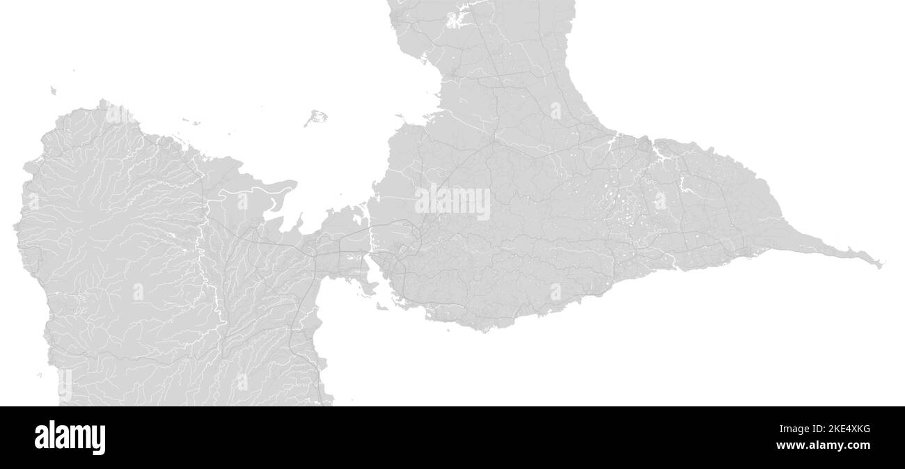
White and grey horizontal map of Guadeloupe, Caribbean islands. Archipelago and overseas department and region of France. Urban area cityscape vector
RFID:Image ID:2KE4XKG
Image details
Contributor:
Kostiantyn Levin / Alamy Stock VectorImage ID:
2KE4XKGReleases:
Model - no | Property - noDo I need a release?Date created:
8 November 2022More information:
White and grey horizontal map of Guadeloupe, Caribbean islands. Archipelago and overseas department and region of France. Urban area cityscape vector illustration.