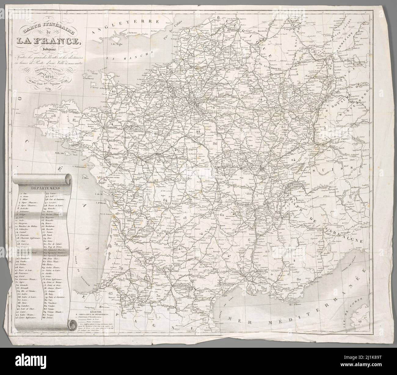
Vintage map French colonies and areas from 19th century. All maps are beautifully hand illustrated showing France at the time.
RFID:Image ID:2J1K89T
Image details
Contributor:
Dragan Jelic / Alamy Stock PhotoImage ID:
2J1K89TFile size:
109 MB (6.9 MB Compressed download)Releases:
Model - no | Property - noDo I need a release?Dimensions:
6600 x 5772 px | 55.9 x 48.9 cm | 22 x 19.2 inches | 300dpiDate taken:
13 November 2015More information:
This image could have imperfections as it’s either historical or reportage.