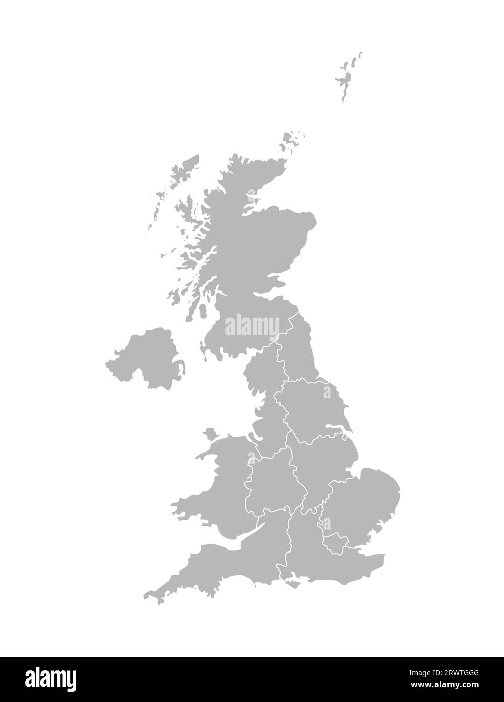
Vector isolated illustration of simplified administrative map of the United Kingdom of Great Britain and Northern Ireland. Borders of the provinces re
RFID:Image ID:2RWTGGG
Image details
Contributor:
Mupi Tupi / Alamy Stock VectorImage ID:
2RWTGGGReleases:
Model - no | Property - noDo I need a release?Date created:
31 May 2019More information:
Vector isolated illustration of simplified administrative map of the United Kingdom of Great Britain and Northern Ireland. Borders of the provinces regions. Grey silhouettes. White outline.