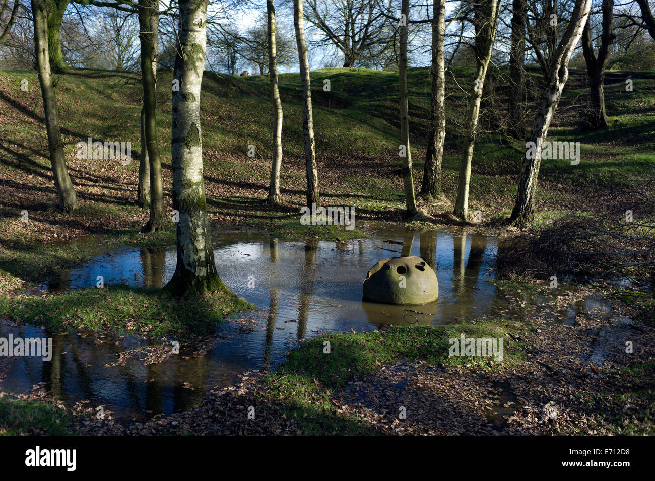
Ypres-Ieper WW1 Battlefield, 1914-1918, Belgium. Hill 60,Ypres,Flanders, Belgium. February 2014 Hill 60 ( 60 metres above sea l
Image details
Contributor:
BRIAN HARRIS / Alamy Stock PhotoImage ID:
E712D8File size:
51.7 MB (4.4 MB Compressed download)Releases:
Model - no | Property - noDo I need a release?Dimensions:
5212 x 3468 px | 44.1 x 29.4 cm | 17.4 x 11.6 inches | 300dpiDate taken:
March 2014Location:
Ypres, Ieper, Flanders ,BelgiumMore information:
This image could have imperfections as it’s either historical or reportage.
Ypres-Ieper WW1 Battlefield, 1914-1918, Belgium. Hill 60, Ypres, Flanders, Belgium. February 2014 Hill 60 ( 60 metres above sea level ), just south of Ypres in Belgium, is a preserved memorial landscape, battle scared with shell holes and exploded mine craters. The site is popular with visitors and school parties whio often start their tour of the battlefielsds here. Caption information from Wikipedia: The Battle of Hill 60 (17 April – 7 May 1915) took place in Flanders, south of Ypres on the Western Front, during the First World War. Hill 60 was captured by the German 30th Division, on 11 November 1914 during the First Battle of Ypres (19 October – 22 November 1914). The ground south of Zillebeke rises for 2, 000 yards (1, 800 m) to a ridge between Zwarteleen and Zandvoorde. Roads ran north-west to south-east through the area from Ypres to Verbrandenmoelen and Hollebeke and from Zillebeke to Zwartelen and Zandvoorde. The Ypres–Comines railway ran roughly parallel to the roads from Ypres and 600 yards (550 m) from Zillebeke, went through a cutting 15–20 feet (4.6–6.1 m) deep, which extended beyond the crest of the ridge. Earth excavated when the railway was built, had been dumped on either side to form small hillocks. Two were on the west side, a long irregular mound atop the ridge called "The Caterpillar" and a smaller mound 300 yards (270 m) down the slope towards Zillebeke, known as "The Dump". On the east side of the cutting on the highest point of the ridge, was a third mound known as "Hill 60", from which observers had excellent observation of the ground around Zillebeke and Ypres. French preparations to raid the hill were continued by the British 28th Division, which took over the line in February 1915 and then by the 5th Division. The planned raid was expanded into an ambitious attempt to capture the hill, despite advice that Hill 60 could not be held unless "the Caterpillar" nearby was also occupied. A French 3 by 2 feet (0.91 m × 0.61 m) mine ga