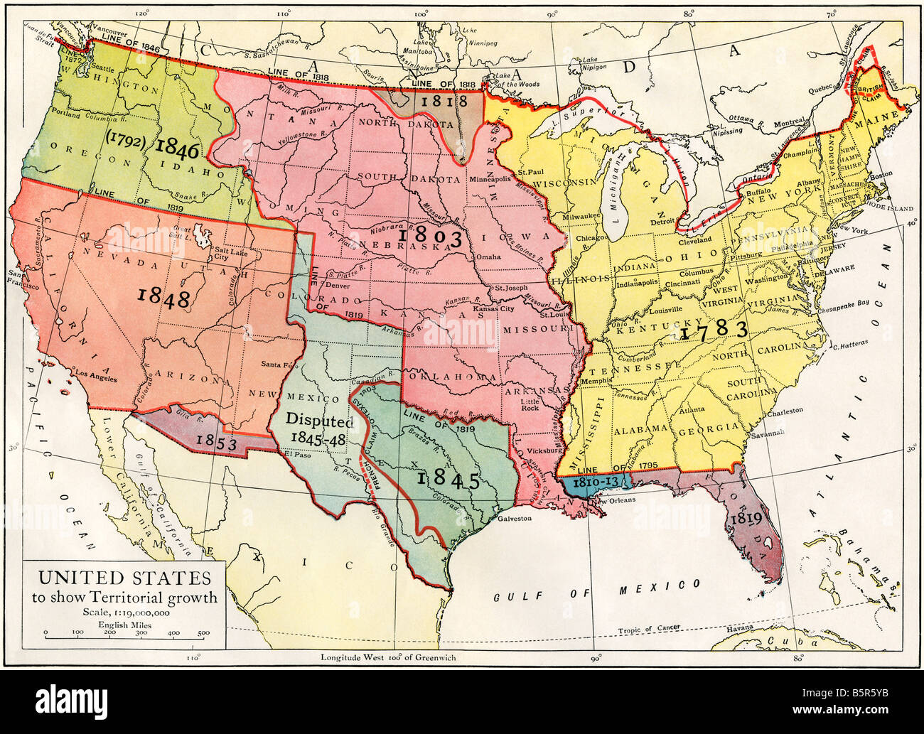
US map showing territorial growth to 1853. Color lithograph
RMID:Image ID:B5R5YB
Image details
Contributor:
North Wind Picture Archives / Alamy Stock PhotoImage ID:
B5R5YBFile size:
52.8 MB (5 MB Compressed download)Releases:
Model - no | Property - noDo I need a release?Dimensions:
5042 x 3659 px | 42.7 x 31 cm | 16.8 x 12.2 inches | 300dpiPhotographer:
North Wind Picture ArchivesMore information:
This image could have imperfections as it’s either historical or reportage.
Printed color lithograph of a 19th-century illustration