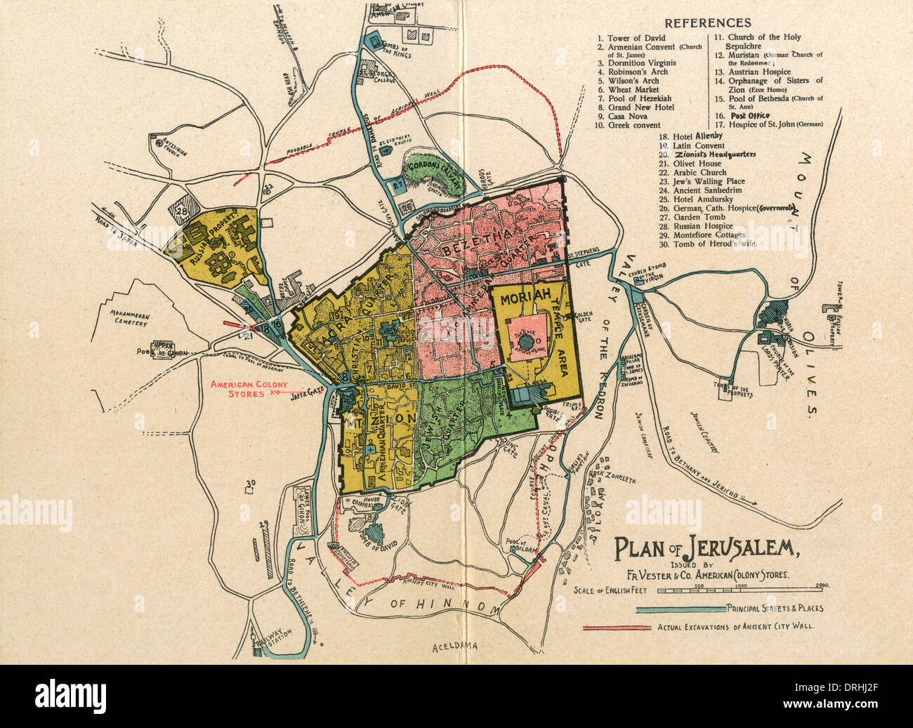
The Plan of Jerusalem. Town map layout.
RMID:Image ID:DRHJ2F
Image details
Contributor:
Chronicle / Alamy Stock PhotoImage ID:
DRHJ2FFile size:
46.1 MB (3.4 MB Compressed download)Releases:
Model - no | Property - noDo I need a release?Dimensions:
4700 x 3425 px | 39.8 x 29 cm | 15.7 x 11.4 inches | 300dpiPhotographer:
ChronicleMore information:
This image could have imperfections as it’s either historical or reportage.
The Plan of Jerusalem. Town map layout showing the location of the American Colony Stores. - Year: C. 1910