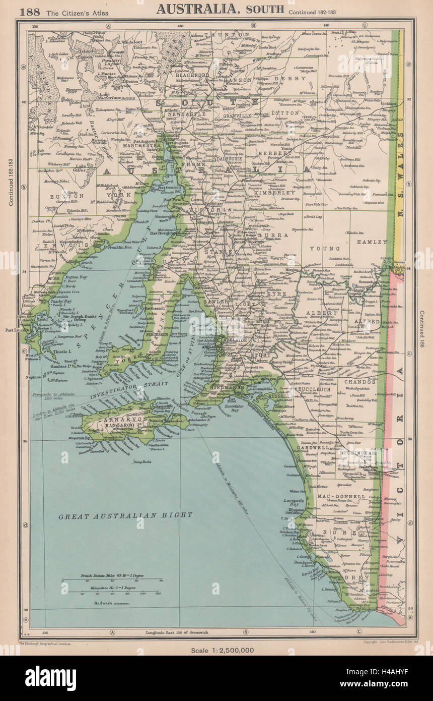
SOUTH AUSTRALIA shows counties Spencer Gulf of St Vincent. BARTHOLOMEW 1944 map
Image details
Contributor:
Antiqua Print Gallery / Alamy Stock PhotoImage ID:
H4AHYFFile size:
30.7 MB (2.3 MB Compressed download)Releases:
Model - no | Property - noDo I need a release?Dimensions:
2664 x 4024 px | 22.6 x 34.1 cm | 8.9 x 13.4 inches | 300dpiDate taken:
1944Location:
AustraliaMore information:
This image could have imperfections as it’s either historical or reportage.
'Australia, South '. Artist/engraver/cartographer: John Bartholomew & Son. Provenance: "The Citizen's Atlas of the World"; by John Bartholomew, Published by John Bartholomew & Son Limited, London: 8th Edition. Type: Vintage colour atlas map; Scale 1: 2, 500, 000. This map was printed in an atlas that was published during the Second World War. Many of the maps show the advance of the Axis powers including the domination of Nazi Germany in continental Europe, and Japan expansion through East Asia and the Pacific. Some of the maps show Vichy France and its territories, Free French territories, Japanese occupied China and Indochina, the partition of Poland.