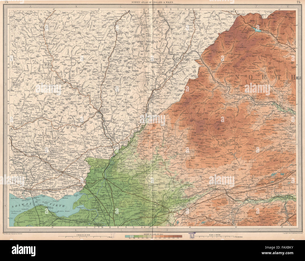
SOLWAY FIRTH:Shows Solway viaduct.Scottish Borders.Cumbria Northumbs, 1939 map
RFID:Image ID:FAXBKY
Image details
Contributor:
Antiqua Print Gallery / Alamy Stock PhotoImage ID:
FAXBKYFile size:
99.2 MB (8.8 MB Compressed download)Releases:
Model - no | Property - noDo I need a release?Dimensions:
6641 x 5219 px | 56.2 x 44.2 cm | 22.1 x 17.4 inches | 300dpiDate taken:
1939Location:
ScotlandMore information:
This image could have imperfections as it’s either historical or reportage.
Artist/engraver/cartographer: John Bartholomew & Son. Provenance: “The Survey Atlas of England & Wales”; Revised and prepared under the direction of John Bartholomew, Published by John Bartholomew & Son, Ltd, London: Second Edition. Type: Large folio vintage colour map; Scale 1:126, 720.