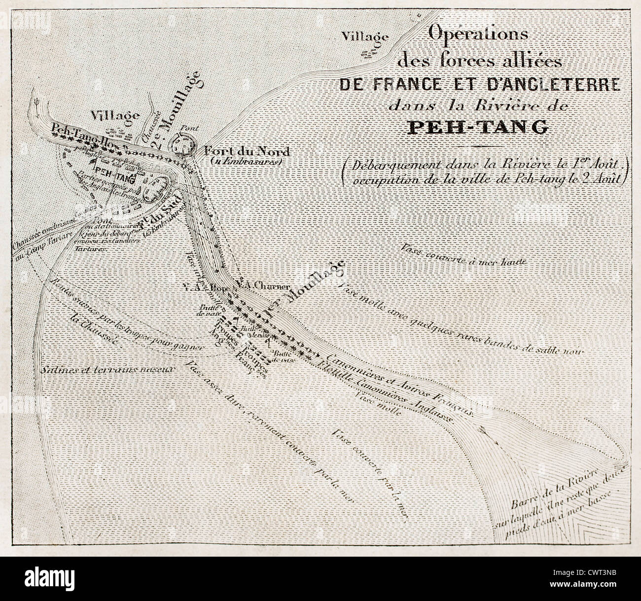
Old military map of French-British allied forces settlement in Beitang, China.
RFID:Image ID:CWT3NB
Image details
Contributor:
Oldtime / Alamy Stock PhotoImage ID:
CWT3NBFile size:
24.7 MB (2.2 MB Compressed download)Releases:
Model - no | Property - noDo I need a release?Dimensions:
3151 x 2740 px | 26.7 x 23.2 cm | 10.5 x 9.1 inches | 300dpiDate taken:
1860Location:
ChinaMore information:
Old military map of French-British allied forces settlement in Beitang, China. After Jaures, Roux and De Baune, published on L'Illustration, Journal Universel, Paris, 1860