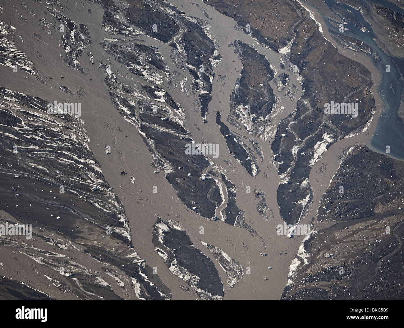
Markarfljot River with ash just north of Eyjafjalljokull Volcanic Eruption

RMID:Image ID:BKG5B9
Image details
Contributor:
ARCTIC IMAGES / Alamy Stock PhotoImage ID:
BKG5B9File size:
50 MB (3.1 MB Compressed download)Releases:
Model - no | Property - noDo I need a release?Dimensions:
4851 x 3603 px | 41.1 x 30.5 cm | 16.2 x 12 inches | 300dpiDate taken:
21 April 2010Location:
Markarfljot RiverPhotographer:
Ragnar Th SigurdssonMore information:
Eyjafjallajökull is a small glacier in Iceland, The icecap of the glacier covers a volcano with a summit elevation of 1, 666 metres (5, 466 ft). The volcano has erupted relatively frequently since the last glacial period, most recently from 1821 to 1823 and again in 2010. It has erupted twice in 2010—on 20 March and 14 April. The March event forced a brief evacuation of around 500 local people, but the April eruption was ten to twenty times more powerful and caused substantial disruption to air traffic across Europe and ash fall in the local area surrounding the glacier.