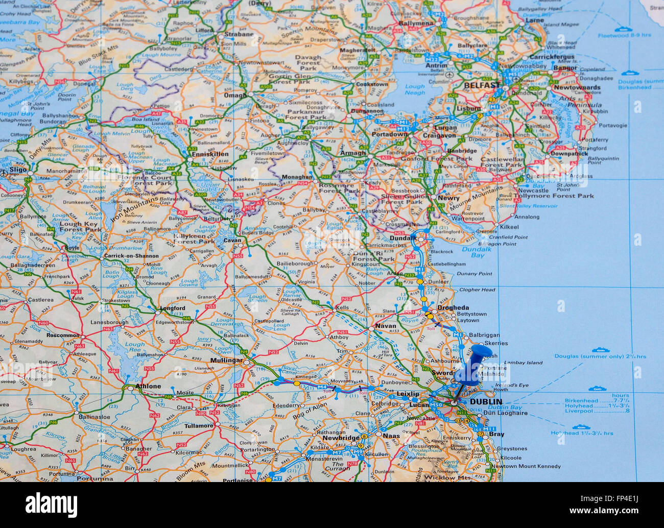
Map of the east coast of Eire (Southern Ireland) showing the road and ferry crossing routes and with a map pin indicating Dublin
RMID:Image ID:FP4E1J
Image details
Contributor:
Sue Heaton / Alamy Stock PhotoImage ID:
FP4E1JFile size:
18.7 MB (1.5 MB Compressed download)Releases:
Model - no | Property - noDo I need a release?Dimensions:
3000 x 2179 px | 25.4 x 18.4 cm | 10 x 7.3 inches | 300dpiDate taken:
16 March 2016More information:
Map of the east coast of Eire (Southern Ireland) showing the road and ferry crossing routes and with a map pin indicating Dublin, capital city of Eire.