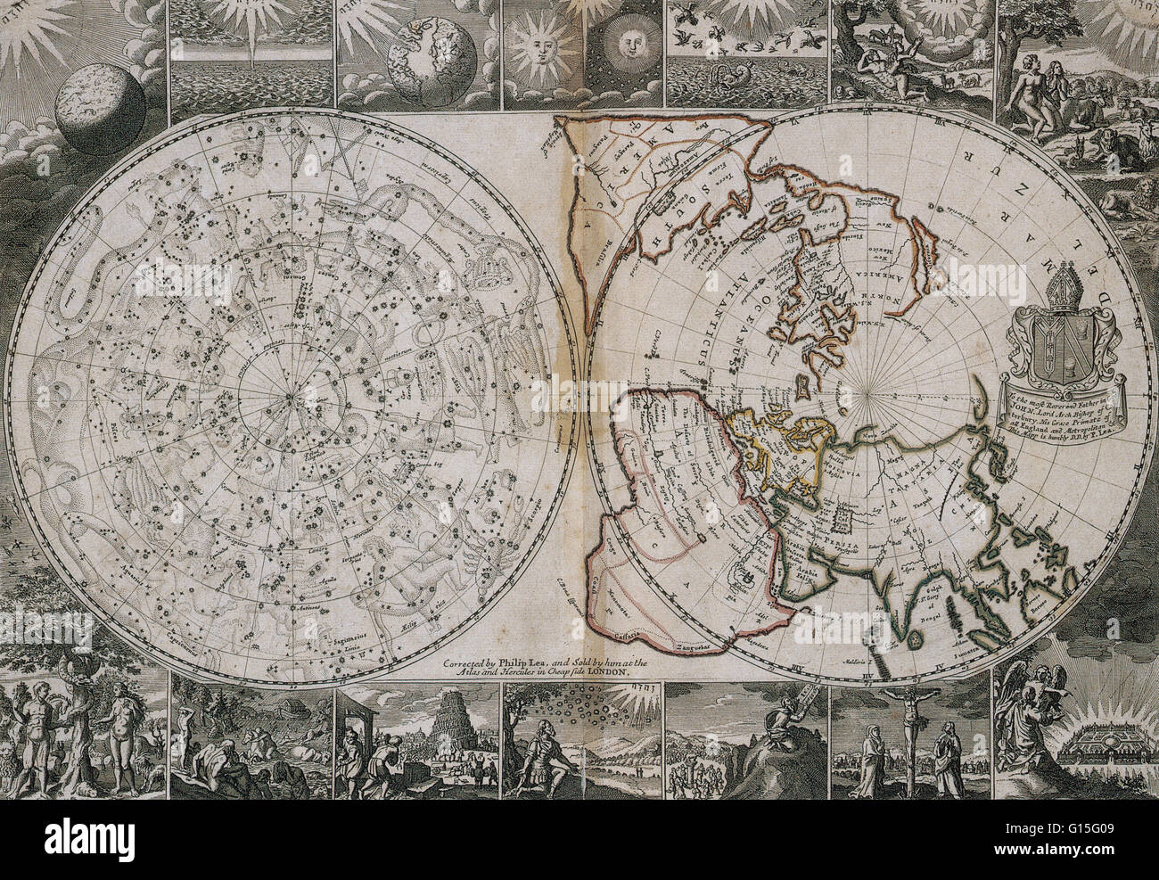
Map from 1691 showing two hemispheres. On the left is a celestial chart of the heavens, and on the right is the world projected from the North Pole.
RMID:Image ID:G15G09
Image details
Contributor:
Science History Images / Alamy Stock PhotoImage ID:
G15G09File size:
41.6 MB (7.1 MB Compressed download)Releases:
Model - no | Property - noDo I need a release?Dimensions:
4592 x 3170 px | 38.9 x 26.8 cm | 15.3 x 10.6 inches | 300dpiPhotographer:
Photo ResearchersMore information:
This image could have imperfections as it’s either historical or reportage.
Map from 1691 showing two hemispheres. On the left is a celestial chart of the heavens, and on the right is the world projected from the North Pole.