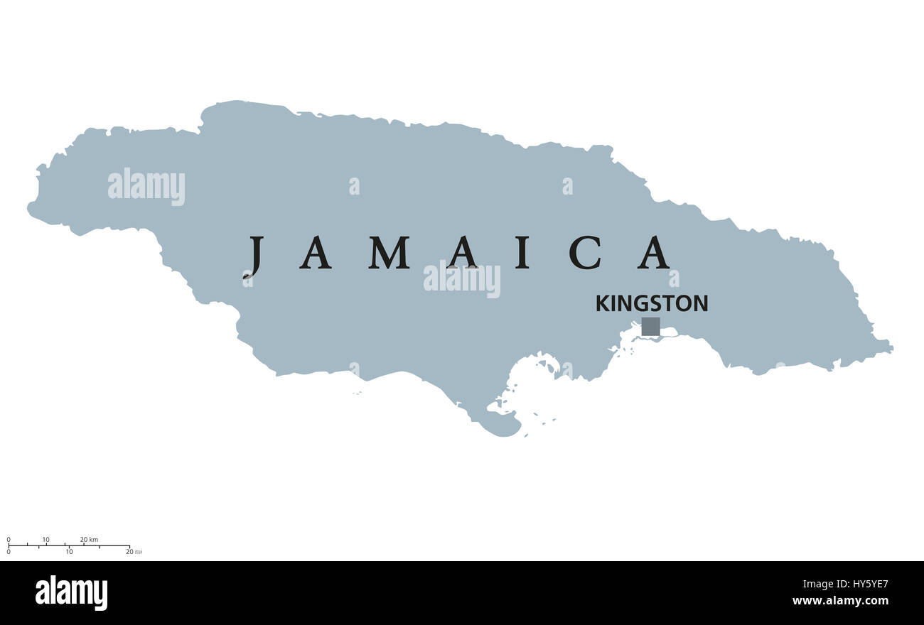
Jamaica political map with capital Kingston. Country in the Caribbean Sea and third-largest island of the Greater Antilles. Gray illustration.
RFID:Image ID:HY5YE7
Image details
Contributor:
Peter Hermes Furian / Alamy Stock PhotoImage ID:
HY5YE7File size:
181.8 MB (909.8 KB Compressed download)Releases:
Model - no | Property - noDo I need a release?Dimensions:
10222 x 6215 px | 86.5 x 52.6 cm | 34.1 x 20.7 inches | 300dpiDate taken:
31 March 2017Location:
JamaicaMore information:
Jamaica political map with capital Kingston. Country in the Caribbean Sea and third-largest island of the Greater Antilles. Gray illustration isolated on white background. English labeling.