FRANCE: Lodge Weak impression, 1786 antique map
RFID:Image ID:FPX6YH
Image details
Contributor:
Antiqua Print Gallery / Alamy Stock PhotoImage ID:
FPX6YHFile size:
19.9 MB (1.2 MB Compressed download)Releases:
Model - no | Property - noDo I need a release?Dimensions:
3111 x 2238 px | 26.3 x 18.9 cm | 10.4 x 7.5 inches | 300dpiDate taken:
1786Location:
FranceMore information:
This image could have imperfections as it’s either historical or reportage.
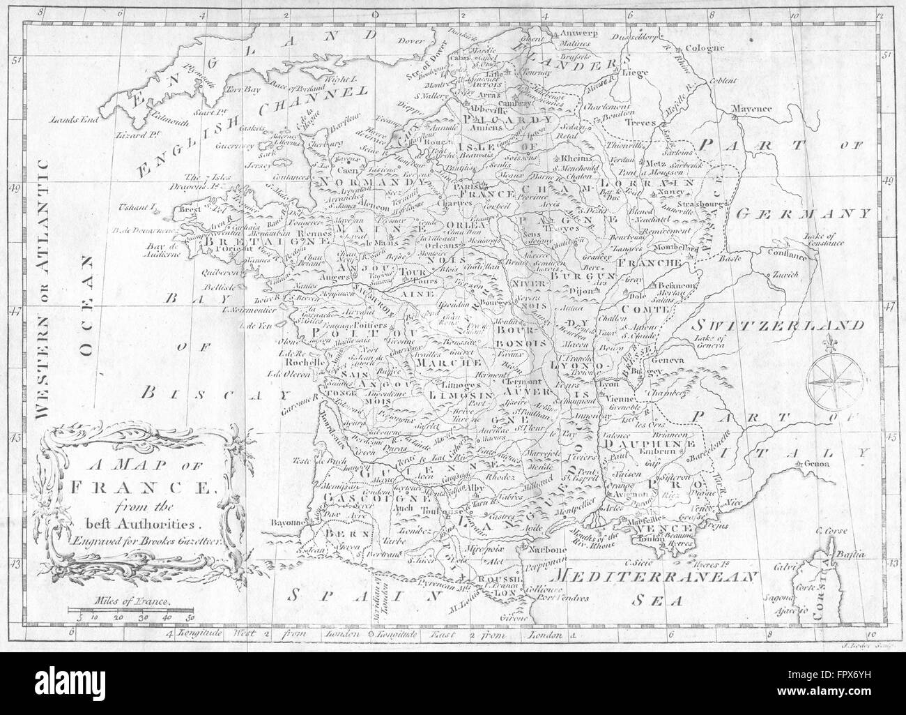
'A Map of France from the best authorities'. Artist/engraver/cartographer: Engraved for Brookes Gazetteer. Provenance: "The General Gazetteer: or, Compendious Geographical Dictionary", by R. Brookes, M.D.; Printed for J.F.C. Rivington, T. Carnan, and J. Johnson; G.G.J.J Robinson, and R. Baldwin; J. Bent, T. Lowndes, and J. Murray; and C. Dilly, London. Type: Antique engraved map.