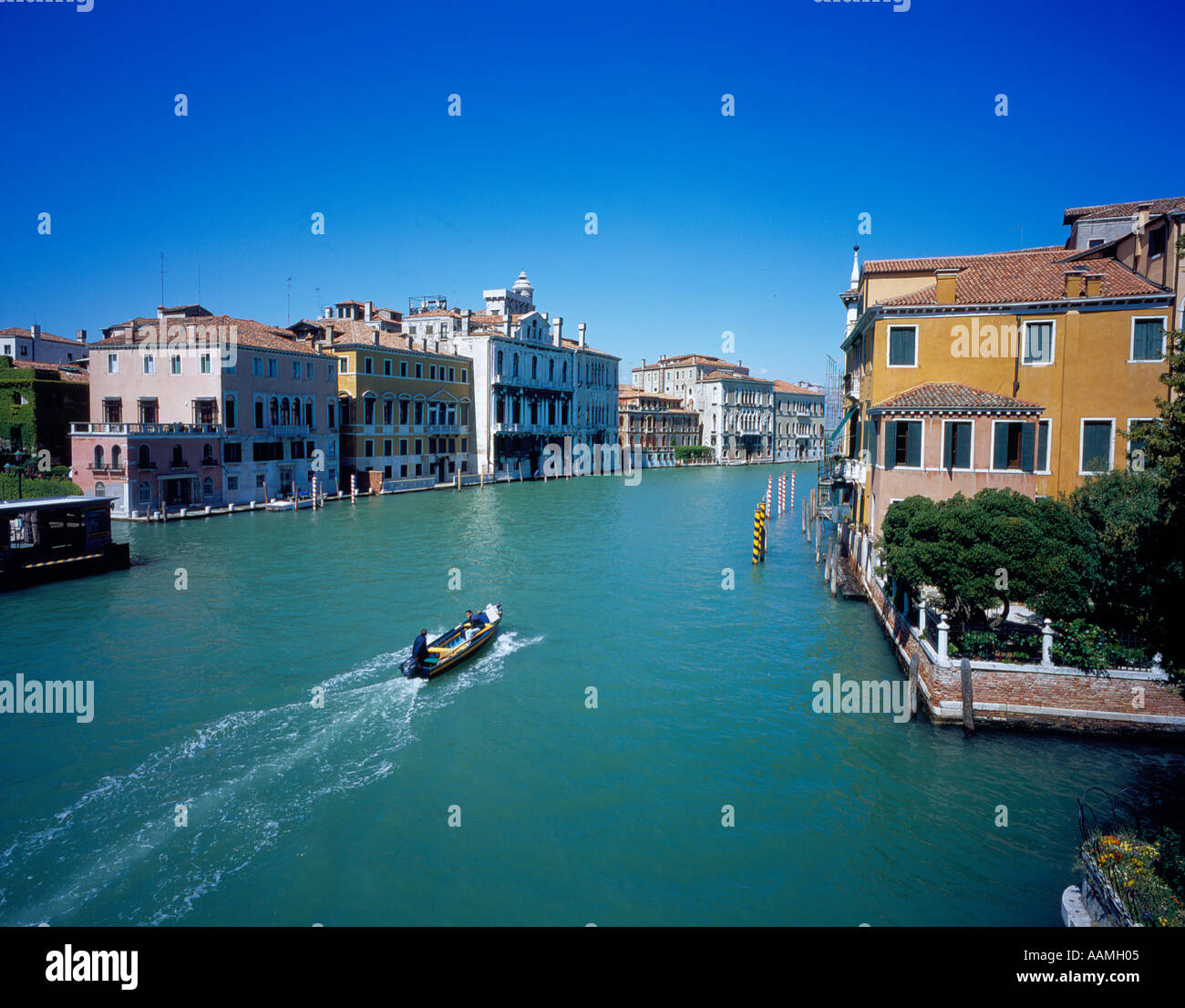
Canal Grande Venice Italy Europe. Photo by Willy Matheisl
Image details
Contributor:
willy matheisl / Alamy Stock PhotoImage ID:
AAMH05File size:
72.6 MB (3.9 MB Compressed download)Releases:
Model - no | Property - noDo I need a release?Dimensions:
5697 x 4456 px | 48.2 x 37.7 cm | 19 x 14.9 inches | 300dpiDate taken:
11 April 2017Location:
Venedig, ItalienMore information:
Willy Matheisl, The Grand Canal (Italian: Canal Grande) is the most important waterway in Venice. It forms one of the major water-traffic corridors in the city. Public transportation is provided by the water bus and by private water taxis. Running through most of the city, it "starts" from the lagoon near the train station, makes a large S-shape through the central districts, the "sestiere" of Venice, and ends at the Basilica di Santa Maria della Salute, near Piazza San Marco (Saint Mark's Square), with an average depth or five meters. Its banks are lined with some of the most beautiful buildings of the city, amongst the many palazzos are the Ca' Rezzonico, Ca d'Oro, Ca' Foscari, Palazzo Barbarigo and the Palazzo Venier dei Leoni, housing the Peggy Guggenheim Collection. The churches along the canal include Basilica di Santa Maria della Salute and Il Redentore. Because most of the city's traffic goes along the Canal rather than across it, there are only three bridges: the Ponte dei Scalzi, the Ponte dell'Accademia and most famously the covered Rialto Bridge. A fourth bridge is being constructed across the Canal, the Piazzale Roma Footbridge near the train station. People can take a ferry ride across the canal by standing-up on the deck of a simple gondola called traghetto.Many people believe that the city may be sinking. But its effects are not certain.