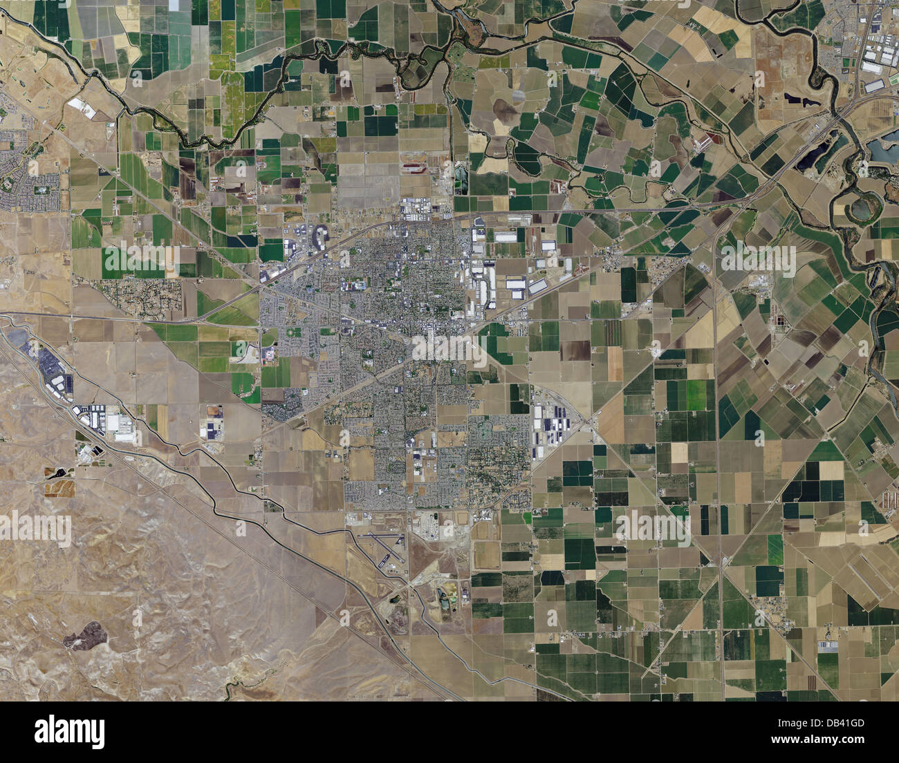
aerial photo map of Tracy, California
RMID:Image ID:DB41GD
Image details
Contributor:
Aerial Archives / Alamy Stock PhotoImage ID:
DB41GDFile size:
125.6 MB (10.3 MB Compressed download)Releases:
Model - no | Property - noDo I need a release?Dimensions:
7500 x 5853 px | 63.5 x 49.6 cm | 25 x 19.5 inches | 300dpiDate taken:
2012Location:
Tracy, CaliforniaPhotographer:
aerialarchives.comMore information:
aerial photo map of Tracy, California