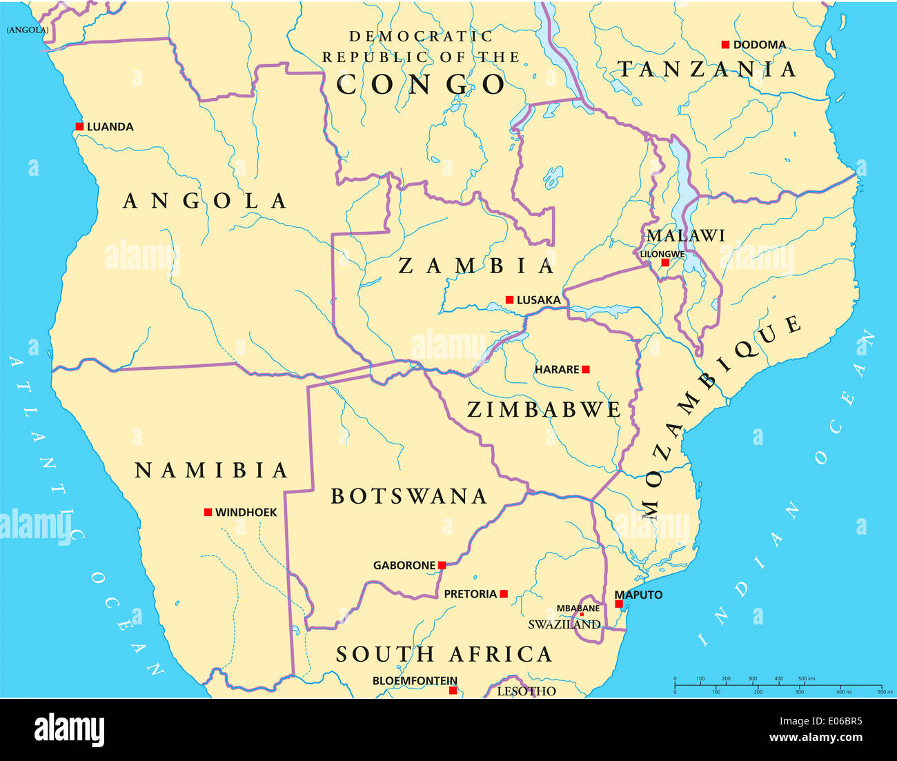
South-Central Africa Political Map
RFID:Image ID:E06BR5
Image details
Contributor:
Peter Hermes Furian / Alamy Stock PhotoImage ID:
E06BR5File size:
132.1 MB (3.2 MB Compressed download)Releases:
Model - no | Property - noDo I need a release?Dimensions:
7697 x 6000 px | 65.2 x 50.8 cm | 25.7 x 20 inches | 300dpiMore information:
Political map of South-Central Africa with capitals, national borders, rivers and lakes. With english labeling and scale.