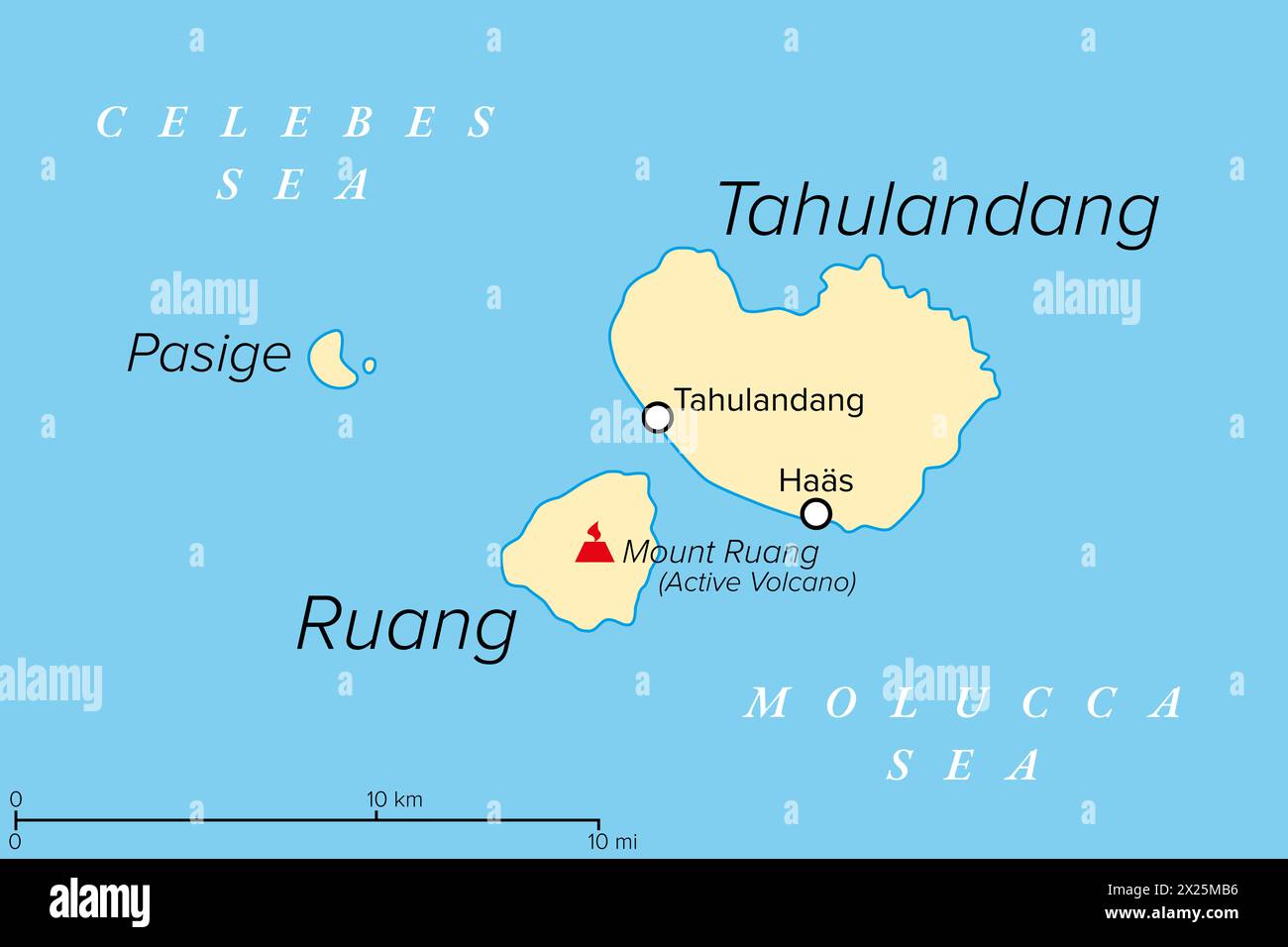
Ruang, an active Indonesian volcanic island, political map. The southernmost stratovolcano in the Sangihe Islands arc, North Sulawesi, Indonesia.
RFID:Image ID:2X25MB6
Image details
Contributor:
Peter Hermes Furian / Alamy Stock PhotoImage ID:
2X25MB6File size:
154.5 MB (783 KB Compressed download)Releases:
Model - no | Property - noDo I need a release?Dimensions:
9000 x 6000 px | 76.2 x 50.8 cm | 30 x 20 inches | 300dpiDate taken:
20 April 2024Location:
IndonesiaMore information:
Ruang, an active Indonesian volcanic island, political map. The southernmost stratovolcano in the Sangihe Islands arc, North Sulawesi, Indonesia. Located southwest of the nearby island Tahulandang.