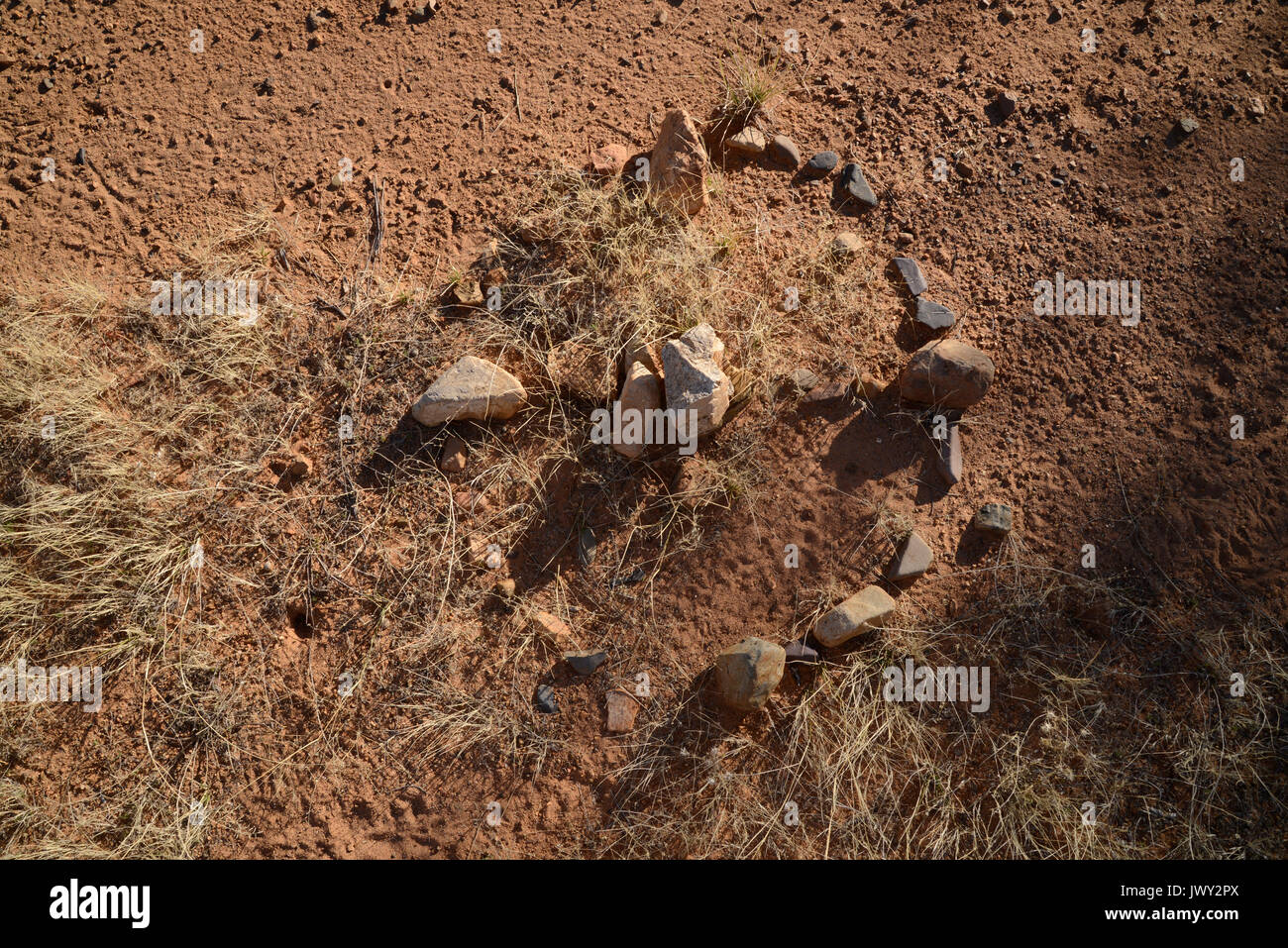
Rocks along a trail used by undocumented migrants from Mexico indicate North, 20 miles north of Sasabe, Arizona, USA.
RMID:Image ID:JWY2PX
Image details
Contributor:
Norma Jean Gargasz / Alamy Stock PhotoImage ID:
JWY2PXFile size:
69.1 MB (6.3 MB Compressed download)Releases:
Model - no | Property - noDo I need a release?Dimensions:
6016 x 4016 px | 50.9 x 34 cm | 20.1 x 13.4 inches | 300dpiDate taken:
20 January 2014Location:
Brown Canyon Road, north of Sasabe, Arizona, USAMore information:
Rocks have been scattered from a constructed compass or guide or map indicating North along a trail heavily used by undocumented migrants from Mexico about 20 miles north of Sasabe, Arizona, USA, and the Mexican border. The trail runs parallels to and west of Route 286, which runs from Sasabe to Three Points, Arizona.