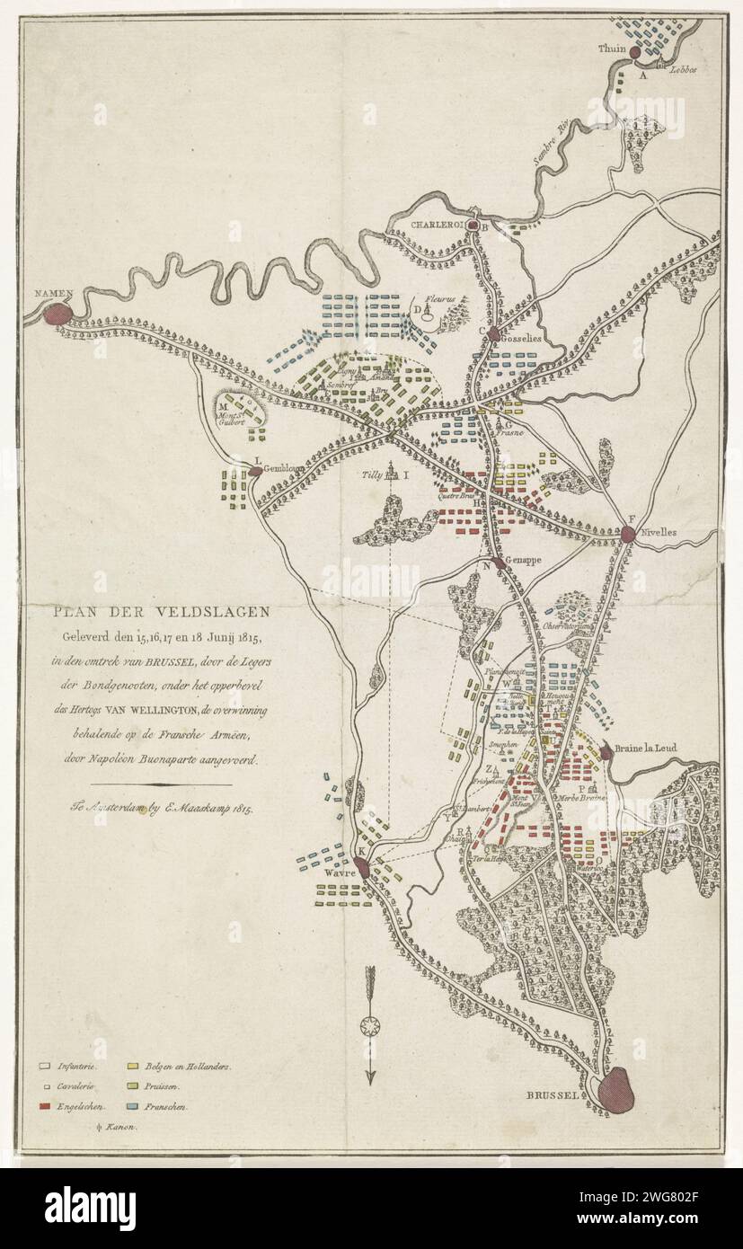
Plan of the battles at Quatre-Bras and Waterloo, 15-18 June, 1815, Anonymous, 1815 print Map of the region between Brussels and Charleroi where between 15-18 June 1815 were fought at Ligny, Wavre, Quatre-Bras and Waterloo battles between the armies of the Allies and the French army under Napoleon. The patterns of the armies are indicated on the map. The different places and armies with colors. print maker: Netherlandspublisher: Amsterdam paper etching maps of separate countries or regions. battle arrays Belgium
RMID:Image ID:2WG802F
Image details
Contributor:
piemags/rmn / Alamy Stock PhotoImage ID:
2WG802FFile size:
76.5 MB (2.8 MB Compressed download)Releases:
Model - no | Property - noDo I need a release?Dimensions:
4124 x 6480 px | 34.9 x 54.9 cm | 13.7 x 21.6 inches | 300dpiMore information:
This image is a public domain image, which means either that copyright has expired in the image or the copyright holder has waived their copyright. Alamy charges you a fee for access to the high resolution copy of the image.
This image could have imperfections as it’s either historical or reportage.