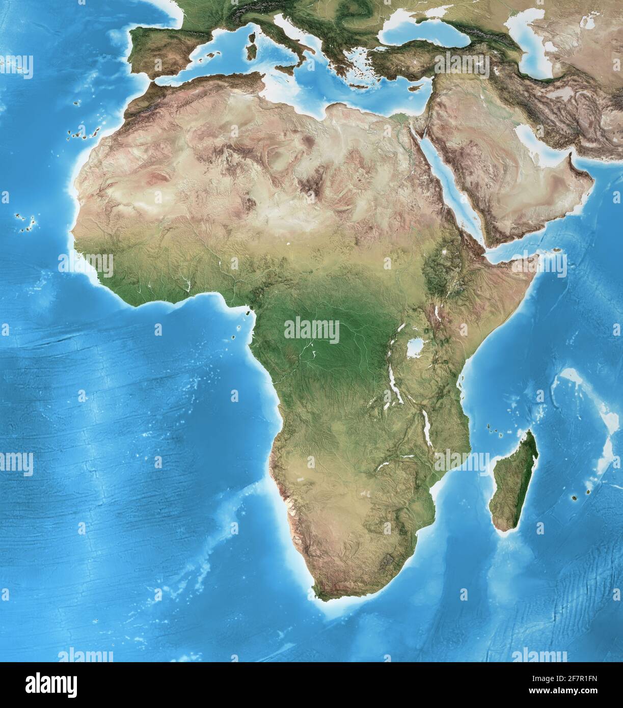
Physical map of Africa, with high resolution details. Flattened satellite view of Planet Earth and its geography - Elements furnished by NASA
RFID:Image ID:2F7R1FN
Image details
Contributor:
titoOnz / Alamy Stock PhotoImage ID:
2F7R1FNFile size:
194.5 MB (10.9 MB Compressed download)Releases:
Model - no | Property - noDo I need a release?Dimensions:
8000 x 8500 px | 67.7 x 72 cm | 26.7 x 28.3 inches | 300dpiDate taken:
9 April 2021More information:
Physical map of Africa, with high resolution details. Flattened satellite view of Planet Earth, its geography and topography. 3D illustration - Elements of this image furnished by NASA