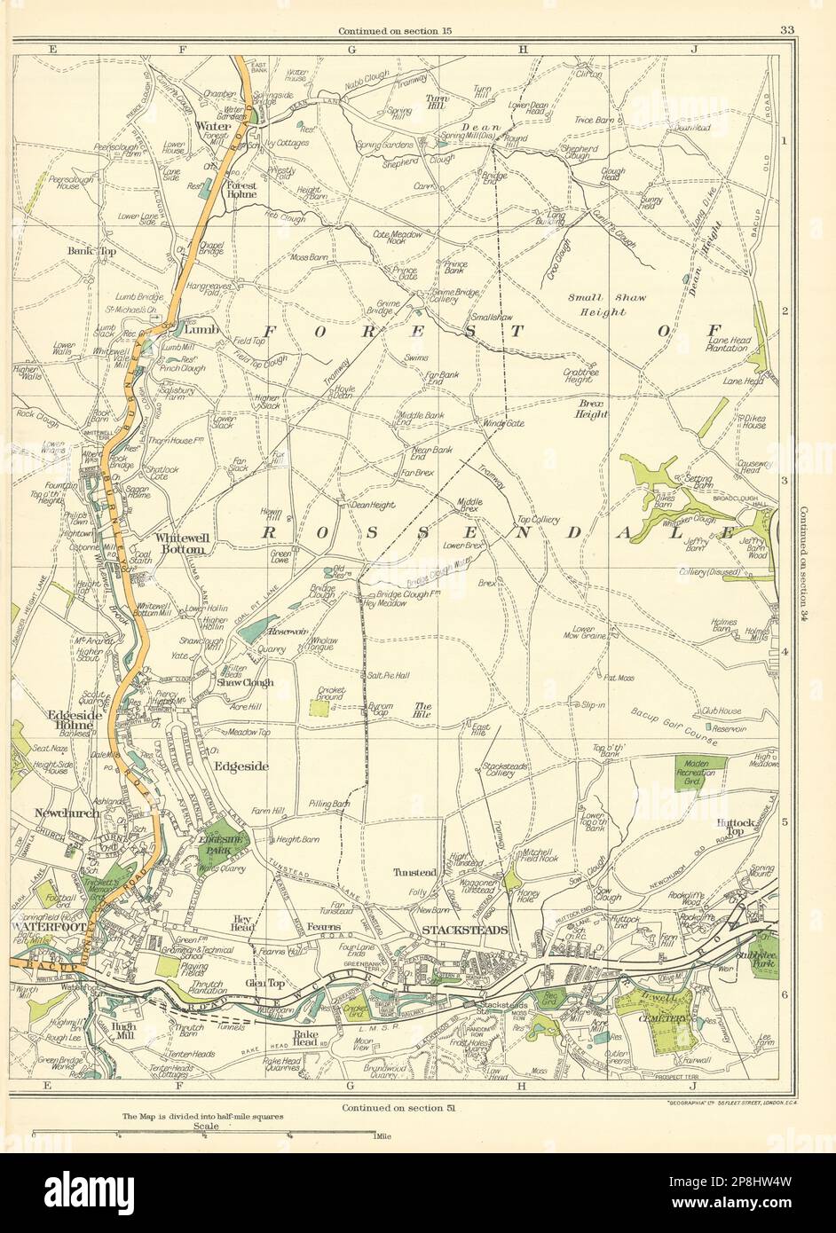
LANCS Waterfoor Whitewell Bottom Edgeside Holme Stacksteads Rossendale 1935 map
RFID:Image ID:2P8HW4W
Image details
Contributor:
Antiqua Print Gallery / Alamy Stock PhotoImage ID:
2P8HW4WFile size:
136.1 MB (6.7 MB Compressed download)Releases:
Model - no | Property - noDo I need a release?Dimensions:
5872 x 8102 px | 49.7 x 68.6 cm | 19.6 x 27 inches | 300dpiDate taken:
1935Location:
LancashireMore information:
This image could have imperfections as it’s either historical or reportage.
[Whitewell Bottom, Edgeside Holme, Edgeside, Stacksteads, Rossendale]. Artist/engraver/cartographer: Geographers A-Z Map Co / Geographia / Pearsall, Phyllis & Gross, Alexander. Provenance: "The Authentic Map Directory of South Lancashire"; Edited by James Bain, Published by "Geographia", Ltd, London . Type: Vintage colour map .