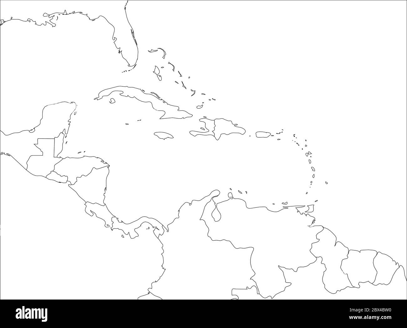
Central America and Carribean states political map. Black outline borders. Simple flat vector illustration.
RFID:Image ID:2BX4BW0
Image details
Contributor:
pytyczech / Alamy Stock VectorImage ID:
2BX4BW0Releases:
Model - no | Property - noDo I need a release?Date created:
5 May 2017Location:
Czech RepublicMore information:
Central America and Carribean states political map. Black outline borders. Simple flat vector illustration.