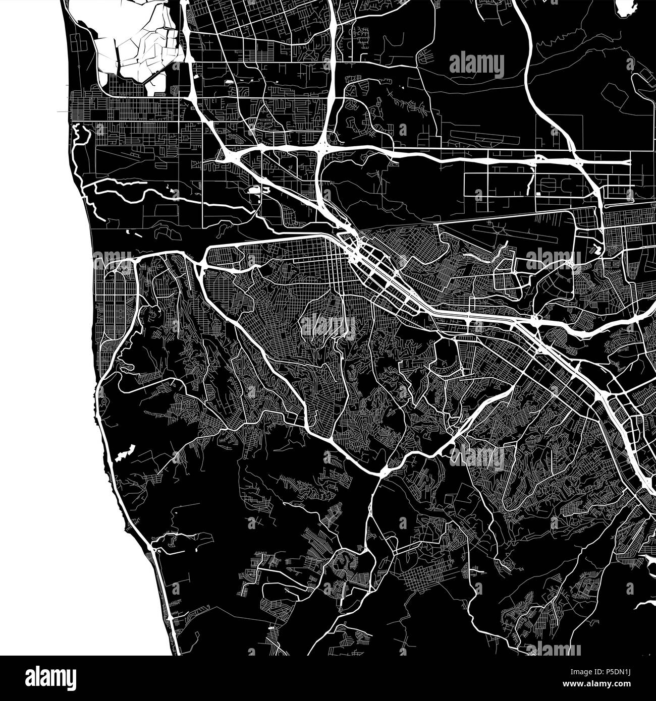
Area map of Tijuana, Mexico. Dark background version for infographic and marketing projects. This map of Tijuana, Tijuana Municipality, contains typic
RFID:Image ID:P5DN1J
Image details
Contributor:
nestign / Alamy Stock PhotoImage ID:
P5DN1JFile size:
147 MB (5.6 MB Compressed download)Releases:
Model - no | Property - noDo I need a release?Dimensions:
7167 x 7167 px | 60.7 x 60.7 cm | 23.9 x 23.9 inches | 300dpiDate taken:
16 April 2018More information:
Area map of Tijuana, Mexico. Dark background version for infographic and marketing projects. This map of Tijuana, Tijuana Municipality, contains typical landmarks with streets, waterways and railways for additional information and easy access to color changes.