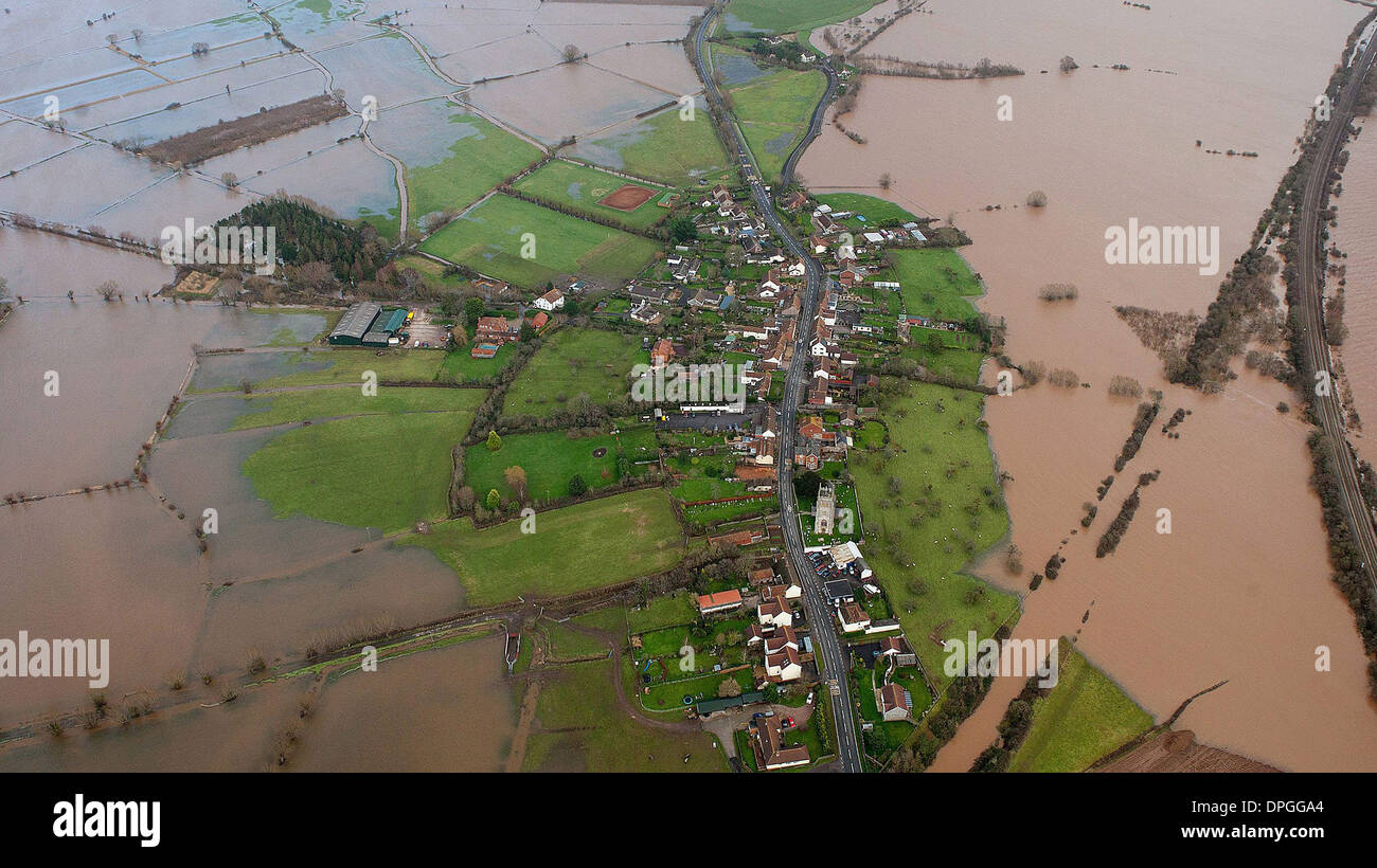
An aerial view a small village between Taunton and Yeovil on the Somerset Levels which shows the true extent of the flooding
RFID:Image ID:DPGGA4
Image details
Contributor:
SWNS / Alamy Stock PhotoImage ID:
DPGGA4File size:
28.3 MB (2.2 MB Compressed download)Releases:
Model - no | Property - noDo I need a release?Dimensions:
4200 x 2359 px | 35.6 x 20 cm | 14 x 7.9 inches | 300dpiDate taken:
6 January 2014Location:
Somerset, England, UKMore information:
An aerial view a small village between Taunton and Yeovil on the Somerset Levels which shows the true extent of the flooding in the South West, as much of the UK continues to endure bad weather and flooding. 6th January 2013.