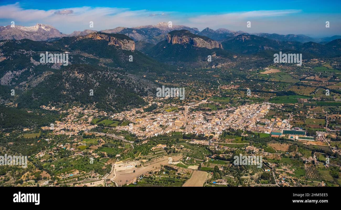
Aerial view, Lloseta, Pla de na Tesa, Cabaneta (Sa), Mallorca, Balearic Island, Balearic Islands, Baleares, Spain, ESP, Europe, birds-eyes view, aeria
RMID:Image ID:2HM5EE5
Image details
Contributor:
Hans Blossey / Alamy Stock PhotoImage ID:
2HM5EE5File size:
56.5 MB (3.4 MB Compressed download)Releases:
Model - no | Property - noDo I need a release?Dimensions:
6000 x 3289 px | 50.8 x 27.8 cm | 20 x 11 inches | 300dpiDate taken:
25 March 2021More information:
Aerial view, Lloseta, Pla de na Tesa, Cabaneta (Sa), Mallorca, Balearic Island, Balearic Islands, Baleares, Spain, ESP, Europe, birds-eyes view, aerial photography, aerial photography, overview, bird's eye view, roads in planned squares, tourism, island, Mediterranean island, Luftbild, Lloseta, Pla de na Tesa, Cabaneta (Sa), Mallorca, Balearische Insel, Balearen, Baleares, Spanien, ESP, Europa, birds-eyes view, Luftaufnahme, Luftbildfotografie, Luftfotografie, overview, Uebersicht, Vogelperspektive, Strassen in geplanten Quadraten, Tourismus, Insel, Mittelmeerinsel