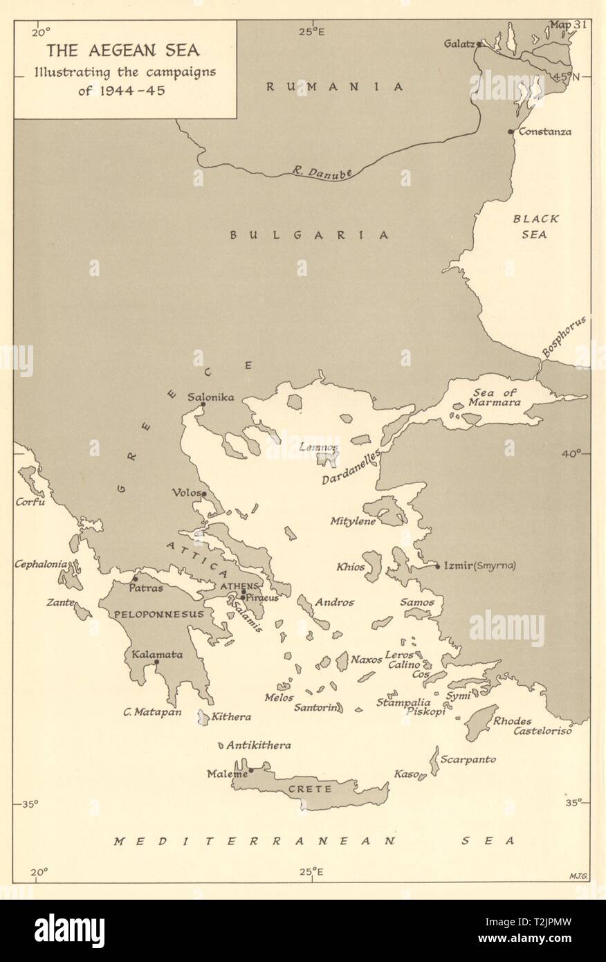
Aegean Sea illustrating the naval campaigns of 1944-45. World War 2 1961 map
RFID:Image ID:T2JPMW
Image details
Contributor:
Antiqua Print Gallery / Alamy Stock PhotoImage ID:
T2JPMWFile size:
15.2 MB (410.4 KB Compressed download)Releases:
Model - no | Property - noDo I need a release?Dimensions:
1893 x 2807 px | 16 x 23.8 cm | 6.3 x 9.4 inches | 300dpiDate taken:
1961Location:
GreeceMore information:
This image could have imperfections as it’s either historical or reportage.
The Aegean Sea, illustrating the Campaigns of 1944-45. Artist/engraver/cartographer: HMSO. Provenance: "The War at Sea 1939-1945. Volume 3: The Offensive Part II", by Captain S.W. Roskill, D.S.C., R.N.; Published by Her Majesty's Stationery Office, London. Contains public sector information licensed under the Open Government Licence v3.0. Type: Vintage military history map.