
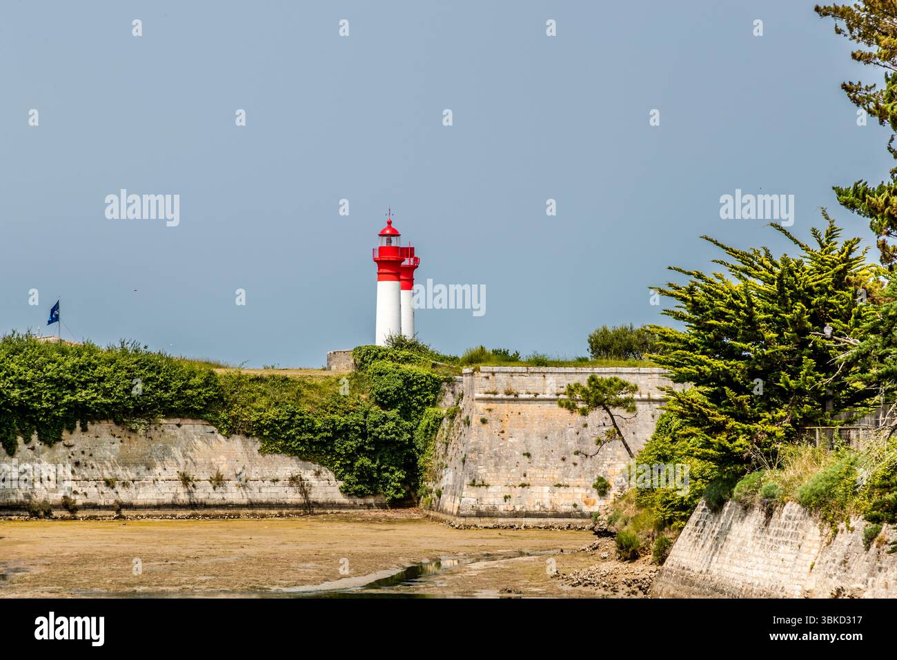
The fortification walls of Fort de la Rade on the island of Aix (Île d'Aix), Charente-Maritime, Nouvelle-Aquitaine, France, are overlooked by the island's two red and white lighthouses. In front of the walls lies a muddy channel, and a blue flag flies on the rampart on the left. Pines and bushes grow on the slope on the right. The lighthouses guide ships safely through the shallow and sometimes dangerous waters around the island, off the mouth of the Charente. Access to the Rochefort naval arsenal had to be well protected and controlled. For this reason, strategic light points were set up. The
RFID:Image ID:3BKD317
Image details
Contributor:
Georg BergImage ID:
3BKD317File size:
140.1 MB (4.7 MB Compressed download)Releases:
Model - no | Property - noDo I need a release?Dimensions:
8569 x 5713 px | 72.6 x 48.4 cm | 28.6 x 19 inches | 300dpiDate taken:
9 June 2025Location:
Fort de la Rade, Île-d'Aix, Nouvelle-Aquitaine, France
