
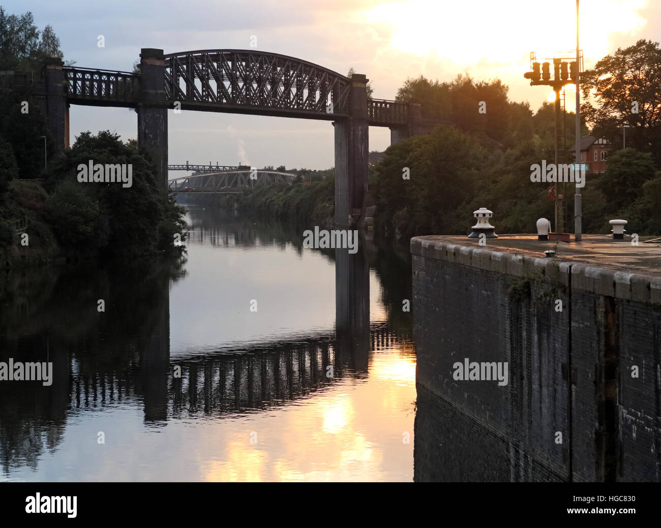
Latchford Village & locks, south Warrington,Cheshire,England,UK
RMID:Image ID:HGC830
Image details
Contributor:
Tony SmithImage ID:
HGC830File size:
46.5 MB (1.6 MB Compressed download)Releases:
Model - no | Property - noDo I need a release?Dimensions:
4716 x 3444 px | 39.9 x 29.2 cm | 15.7 x 11.5 inches | 300dpiDate taken:
1 October 2016Location:
Latchford Village, Warrington, Cheshire, England, UKMore information:
Latchford is a suburb and electoral ward of Warrington, Cheshire, England. It is around one mile south-east of Warrington town centre and has a total resident population of 7, 856. Latchford is a predominantly residential area, Latchford lies between the River Mersey and the Manchester Ship Canal, and broadly consists of 19th century terraced housing and some open space. The canal is crossed here by a swing bridge, a high level road bridge and the now disused Latchford railway viaduct. Its name came from Anglo-Saxon Læccford = "Boggy-stream ford".

