
Pedestrian route through social housing at Fairhaven, Birch Green, Skelmersdale, illustrating the planned layout of the Lancashire New Town.
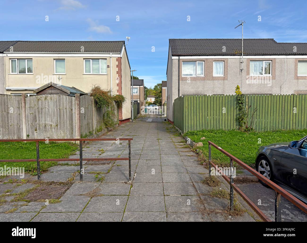
Image details
Contributor:
Tony SmithImage ID:
3FKAJ9CFile size:
93.1 MB (5.3 MB Compressed download)Releases:
Model - no | Property - noDo I need a release?Dimensions:
6700 x 4855 px | 56.7 x 41.1 cm | 22.3 x 16.2 inches | 300dpiDate taken:
13 September 2026Location:
Fairhaven, Birch Green, Skelmersdale, Lancashire, EnglandMore information:
. A pedestrian route between social housing at Fairhaven in Birch Green, Skelmersdale, showing one of the spatial ideas that shaped the Lancashire New Town: homes reached by paths and shared open space rather than only by conventional streets. Low-rise houses face onto the walkway, with fences, grass, railings and a narrow paved route creating a human-scale view through the estate. Skelmersdale was designated in 1961 during the second generation of British New Town development and was planned to accommodate major population growth, including families moving from Liverpool. Designers of the period frequently separated pedestrians from through traffic, linking homes, schools, shops and neighbourhood facilities with footpaths, subways and landscaped routes. That approach promised safety from cars and a greener environment, but later experience across many estates has also highlighted issues such as indirect routes, limited natural surveillance, maintenance burdens and perceptions of safety. The Fairhaven scene therefore carries a wider planning story within an apparently simple footpath. Mature fencing, garden alterations and the mix of private and communal edges show how residents have adapted the original layout over time. For social landlords, spaces like these also bring practical responsibilities for paving, lighting, drainage, vegetation, accessibility, boundary ownership and anti-social behaviour prevention. The image can illustrate New Town history, council and housing-association stock, regeneration, public realm management, walkability and the long life of post-war design decisions. It is particularly useful for contrasting the optimistic planning principles of the 1960s with current approaches that often favour clearer streets, active frontages, overlooked routes and better connections between homes, transport and local services. Railings and changes in paving also reveal the constant small-scale interventions required to keep ageing public.

