
Directional sign for the Trans Pennine Trail indicating west and east routes for walkers and cyclists in the Latchford area of south Warrington.
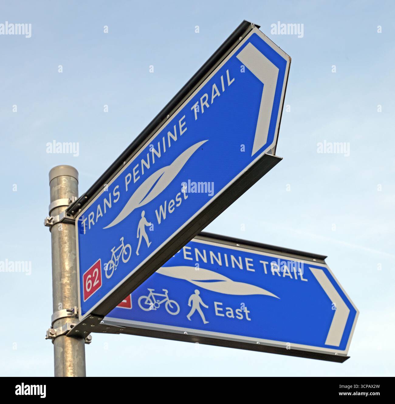
Image details
Contributor:
Tony SmithImage ID:
3CPAX2WFile size:
77.3 MB (1.6 MB Compressed download)Releases:
Model - no | Property - noDo I need a release?Dimensions:
5327 x 5071 px | 45.1 x 42.9 cm | 17.8 x 16.9 inches | 300dpiDate taken:
21 June 2025Location:
Trans Pennine Trail, Latchford, Warrington, Cheshire, England, United Kingdom WA4More information:
Directional signage for the Trans Pennine Trail photographed in the Latchford area of south Warrington, Cheshire, England. The blue wayfinding signs indicate west and east routes along the long-distance trail and display symbols for both cyclists and pedestrians, highlighting the shared-use nature of the path. The Trans Pennine Trail is a major national route stretching coast to coast across northern England, designed to promote walking, cycling, and sustainable travel through a mix of urban, suburban, and rural landscapes. In towns such as Warrington, the trail forms part of local active-travel infrastructure, connecting residential neighbourhoods with green corridors, waterways, employment areas, and nearby towns. The signage reflects consistent national trail branding and supports navigation for leisure users as well as commuters. The image illustrates broader themes of sustainable transport, public investment in cycling and walking infrastructure, and the integration of long-distance recreational routes into everyday urban environments across contemporary Britain.

