
Green,Creme,Eastover Bridge, river Parrett crossing, Bridgwater, Somerset, England, UK
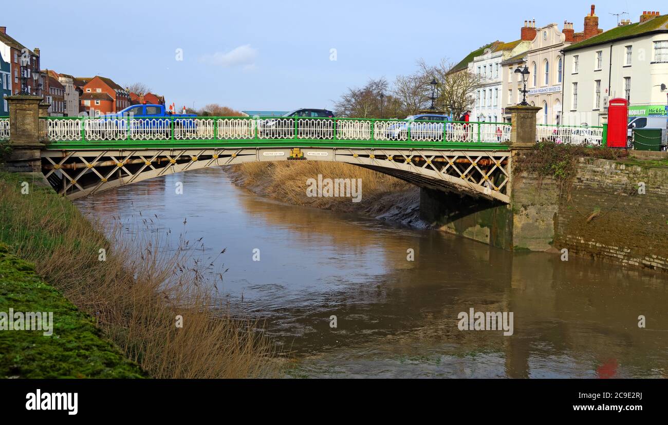
Image details
Contributor:
Tony SmithImage ID:
2C9E2RJFile size:
48.7 MB (2.6 MB Compressed download)Releases:
Model - no | Property - noDo I need a release?Dimensions:
5472 x 3108 px | 46.3 x 26.3 cm | 18.2 x 10.4 inches | 300dpiDate taken:
6 February 2019More information:
. Recorded at the recorded location, this image forms part of the visual history of the locality and the activity, building, object or service shown. The view specifically shows Green, Creme, Eastover Bridge, river Parrett crossing, Bridgwater, Somerset, England, UK. Further connections within the scene include public realm, historic transport corridor, managed navigation, before-and-after reference, social history, blue-green infrastructure, working waterway, local history, community identity, boating network, regional identity, place identity, river transport, and archival record. The present-day relevance extends to ageing locks and bridges and heritage conservation, while a wider concern is balancing leisure use with engineering and environmental needs. Small period details of public access and movement at the recorded location may become more significant with time, especially following new ownership. The subject also sits alongside historical comparison, waterside infrastructure, urban change, built environment, industrial waterway history, visual archive, inland navigation, and canal heritage. References to Eastover, Bridge, crossing, Creme, and Green give the picture a strong period identity and tie it closely to the named subject. By fixing the subject within the recorded location, the image preserves more than the headline object or building: it records part of the locality's everyday history. A further contemporary connection is ageing locks and bridges and balancing leisure use with engineering and environmental needs when considered against later change at the recorded location. The image also provides a reference for waterside regeneration and the value of canals and rivers as blue-green corridors without losing the local specificity of the recorded location. The wider significance includes waterway maintenance and keeping historic infrastructure safe and operational in a form that can be compared with future views of the recorded location.

