
Cheshire West and Chester,CWAC,public footpath signs,Cheshire countryside,right of way,England,UK,leisure and culture
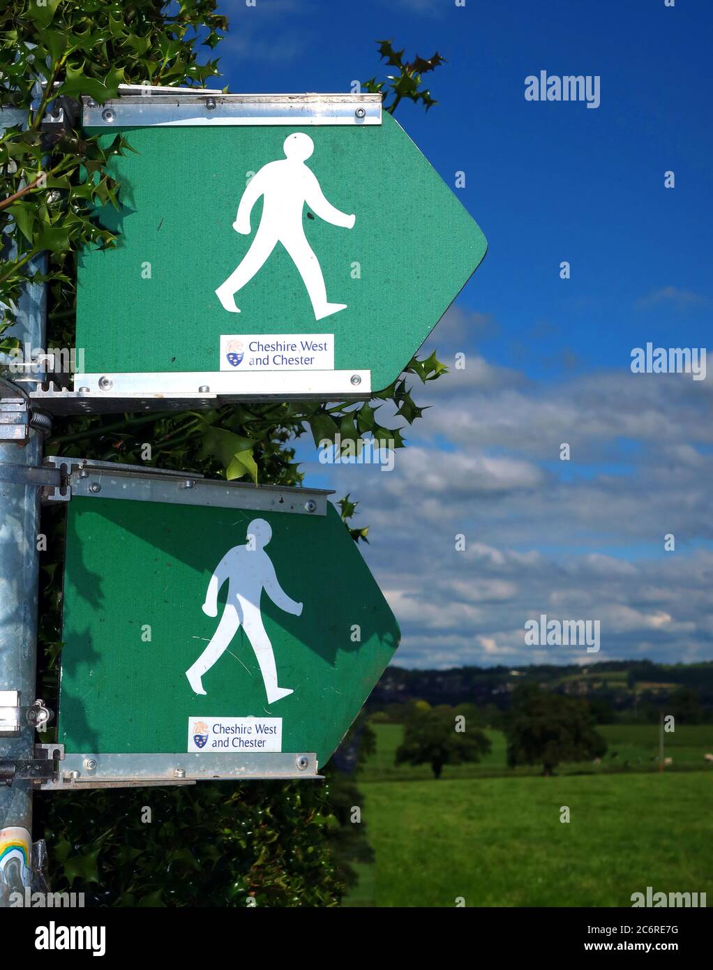
Image details
Contributor:
Tony SmithImage ID:
2C6RE7GFile size:
48.4 MB (1.7 MB Compressed download)Releases:
Model - no | Property - noDo I need a release?Dimensions:
3648 x 4640 px | 30.9 x 39.3 cm | 12.2 x 15.5 inches | 300dpiDate taken:
11 July 2020More information:
. This carefully observed view of the recorded location fixes a specific place, use and moment for later historical comparison. The defining feature is Cheshire West and Chester, CWAC, public footpath signs, Cheshire countryside, right of way, England, UK, leisure and culture. Its broader subject matter includes documentary photography, architectural character, built environment, heritage landmark, period detail, social history, traditional masonry, changing streetscape, local character, architectural contrast, historic townscape, urban fabric, public realm, and cityscape history. For contemporary context, redevelopment pressure and energy retrofit are closely related themes, especially where the issue becomes the contrast between historic fabric and modern development. The photograph fixes materials and construction within the recorded location at one identifiable point, providing a benchmark against closure or conversion. Other connected aspects are historic streetscape, community identity, urban change, social landscape, built heritage, archival record, conservation interest, and local history. References to right, footpath, culture, public, and Chester give the picture a strong period identity and tie it closely to the named subject. By fixing the subject within the recorded location, the image preserves more than the headline object or building: it records part of the locality's everyday history. Its period value extends to redevelopment pressure and using existing buildings rather than demolishing them as part of the longer story of the recorded location. The location additionally provides evidence for embodied carbon and the contrast between historic fabric and modern development when considered against later change at the recorded location. A further contemporary connection is planning control and preserving local identity during urban change without losing the local specificity of the recorded location.

