
The North, The South signs, A1, which way now, London Rd, Wansford, Peterborough, England, UK, PE8 6JE
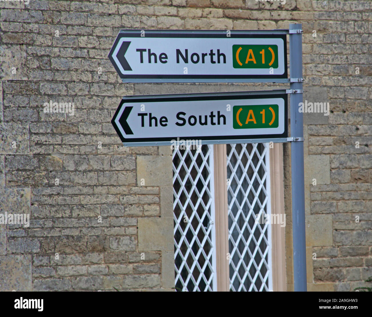
Image details
Contributor:
Tony SmithImage ID:
2A9GHW3File size:
33.3 MB (1.4 MB Compressed download)Releases:
Model - no | Property - noDo I need a release?Dimensions:
3852 x 3024 px | 32.6 x 25.6 cm | 12.8 x 10.1 inches | 300dpiDate taken:
13 April 2010Location:
London Rd, Wansford, Peterborough, England, UK, PE8 6JEMore information:
The A1 is the longest numbered road in the United Kingdom, at 410 miles (660 km). It connects London, the capital of England, with Edinburgh, the capital of Scotland. It passes through or near north London, Hatfield, Welwyn Garden City, Stevenage, Baldock, Letchworth Garden City, Biggleswade, St Neots, Huntingdon, Peterborough, Stamford, Grantham, Newark-on-Trent, Retford, Doncaster, Pontefract, York, Wetherby, Ripon, Darlington, Durham, Sunderland, Gateshead, Newcastle upon Tyne, Morpeth, Alnwick and Berwick-upon-Tweed. It was designated by the Ministry of Transport in 1921, and for much of its route it followed various branches of the historic Great North Road, the main deviation being between Boroughbridge and Darlington. The course of the A1 has changed where towns or villages have been bypassed, and where new alignments have taken a slightly different route. Several sections of the route have been upgraded to motorway standard and designated A1(M). Between the M25 (near London) and the A720 (near Edinburgh) the road is part of the unsigned Euroroute E15 from Inverness to Algeciras.

