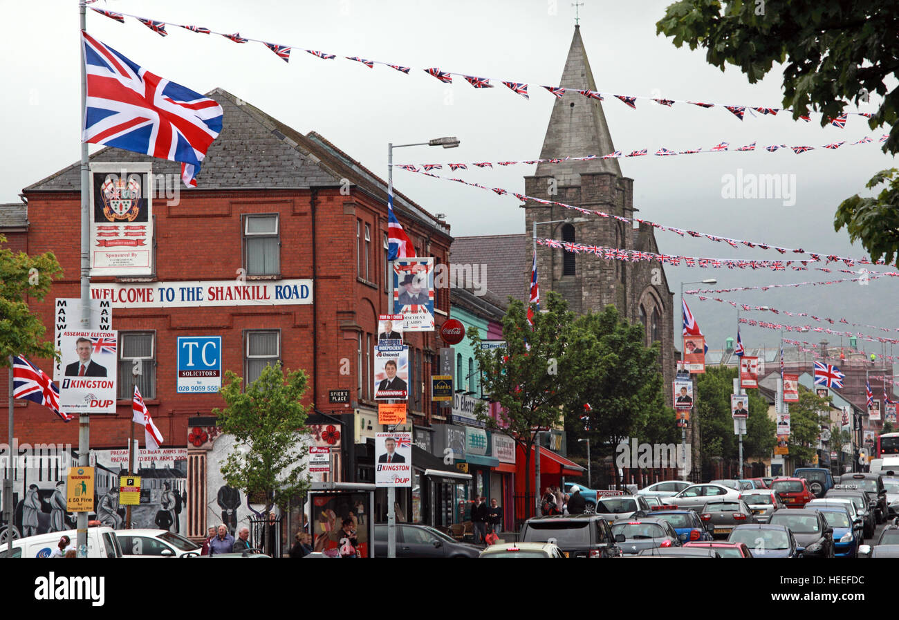
Belfast Unionist, Loyalist Shankill Road, West Belfast,with red white blue bunting, Northern Ireland
RMID:Image ID:HEEFDC
Image details
Contributor:
Tony Smith / Alamy Stock PhotoImage ID:
HEEFDCFile size:
48.6 MB (2.1 MB Compressed download)Releases:
Model - no | Property - noDo I need a release?Dimensions:
5232 x 3248 px | 44.3 x 27.5 cm | 17.4 x 10.8 inches | 300dpiDate taken:
5 May 2011Location:
West Belfast, Northern Ireland, UKMore information:
The Shankill Road is one of the main roads leading through west Belfast, Northern Ireland. It runs through the predominantly loyalist working class area known as the Shankill. The road stretches westwards for about 2.4 km (1.5 mi) from central Belfast and is lined, to an extent, by shops. The residents live in the many streets which branch off the main road. The area along the Shankill Road forms part of Court district electoral area.