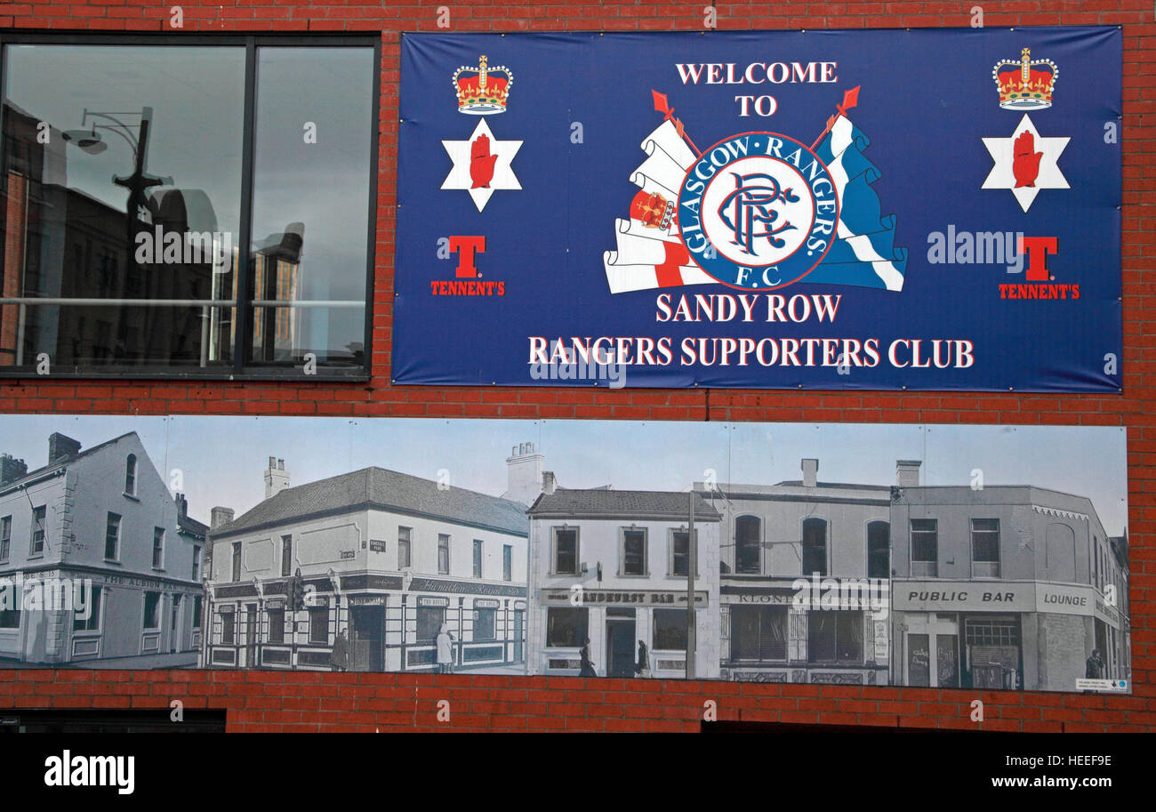
Belfast Unionist, Loyalist Sandy Row, Rangers FC Supporters Club
Image details
Contributor:
Tony Smith / Alamy Stock PhotoImage ID:
HEEF9EFile size:
42.6 MB (1.9 MB Compressed download)Releases:
Model - no | Property - noDo I need a release?Dimensions:
4848 x 3072 px | 41 x 26 cm | 16.2 x 10.2 inches | 300dpiDate taken:
5 May 2011Location:
West Belfast, Northern Ireland, UKMore information:
Sandy Row is a street in south Belfast, Northern Ireland. It lends its name to the surrounding residential community, which is predominantly Protestant working-class. The Sandy Row area had a population of 2, 153 in 2001. It is a staunchly loyalist area of Belfast, being a traditional heartland for affiliation with the paramilitary Ulster Defence Association (UDA) and the Orange Order. Sandy Row is situated in south Belfast, beginning at the edge of the city centre, close to the Europa Hotel. The road runs south from the Boyne Bridge (formerly the Saltwater Bridge) over the old Dublin railway line beside Great Victoria Street station, then crosses the Donegall Road and ends at the bottom of the Lisburn Road. At the north end of the road was the famous Murray's tobacco factory, which was first opened in 1810, while at the other is a large Orange hall.