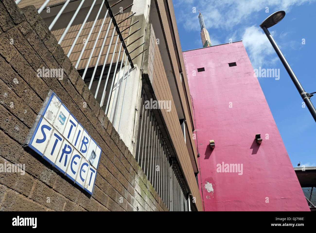
Tib Street, Manchester, Northern Quarter, Lancashire, England, UK. Location of old river Tib
Image details
Contributor:
Tony Smith / Alamy Stock PhotoImage ID:
GJ798EFile size:
57.1 MB (2.7 MB Compressed download)Releases:
Model - no | Property - noDo I need a release?Dimensions:
5472 x 3648 px | 46.3 x 30.9 cm | 18.2 x 12.2 inches | 300dpiDate taken:
9 August 2016Location:
Tib St, Manchester, Lancs, England, UK M4 1SHMore information:
The River Tib is a minor tributary of the River Medlock in Manchester, England. It has been culverted along its entire length since probably about 1820 and now runs beneath Manchester city centre. Tib Street (53°29′01″N 2°14′05″WCoordinates: 53°29′01″N 2°14′05″W) and Tib Lane are named after the watercourse. During the Roman period, the Tib marked the boundary of the vicus or settlement of Mamucium; the river continued to mark Manchester's boundary until medieval times, as well as providing drinking water. A notion concerning The Tib's name, coined by Geoffrey Ashworth in his book The Lost Rivers of Manchester, is that the river was given its name by homesick Roman soldiers after the River Tiber, but with the word shortened to reflect the size difference between the two rivers. Alternatively, the name may derive from the Celtic word for "watercourse". The river's source is a spring in Miles Platting (53°29′36″N 2°13′08″W), from where it flows underneath Oldham Road and the eponymous Tib Street to reach the city centre. After flowing underneath West Mosley Street, the Tib crosses Princess Street to flow underneath the Manchester Town Hall extension, the Central Library and the Midland Hotel's dining room, before joining the Medlock at Gaythorn (now First Street, 53°28′23″N 2°14′52″W), close to Deansgate railway station.