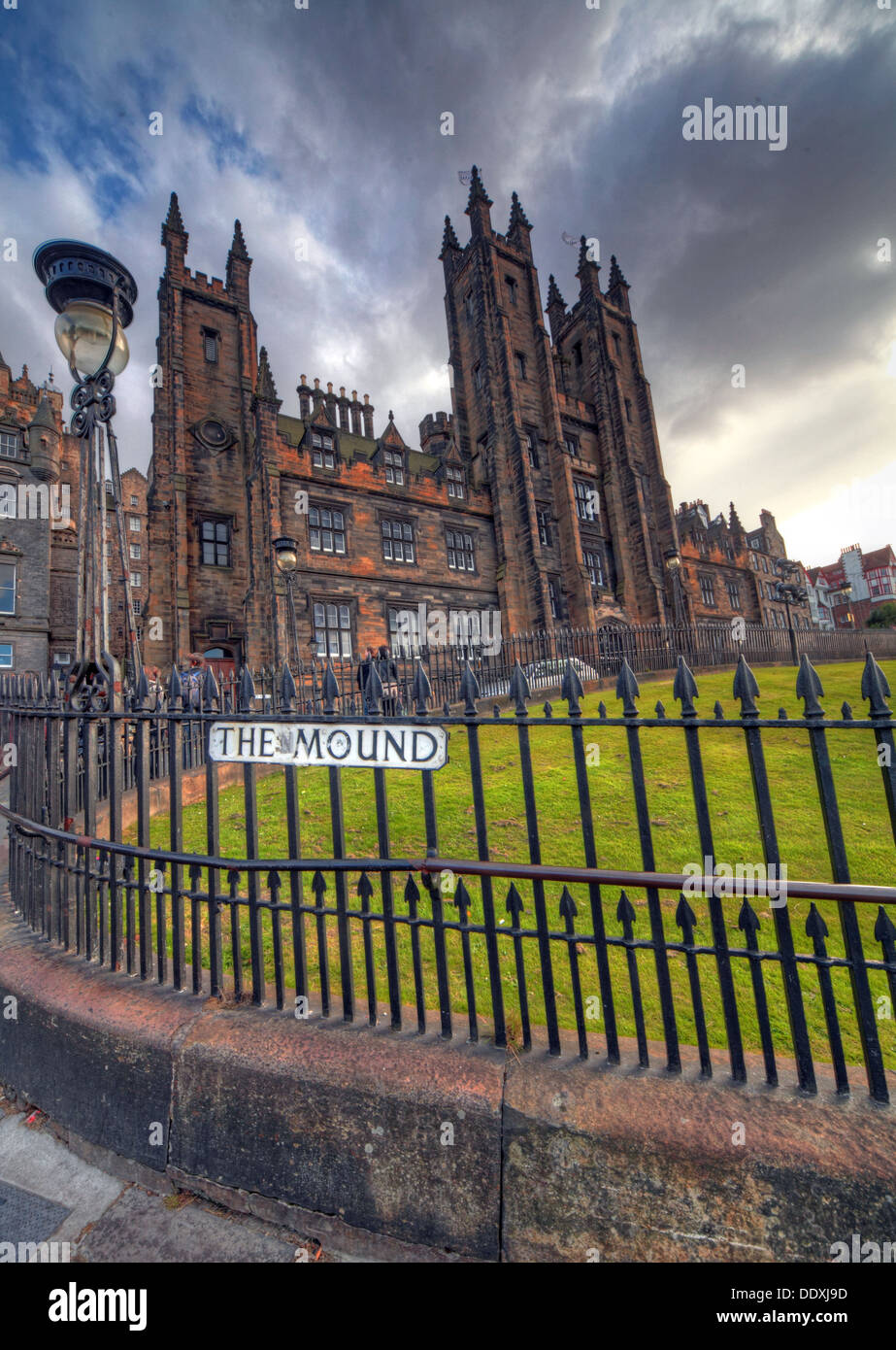
View of The Mound, Edinburgh capital city Lothians Scotland UK
Image details
Contributor:
Tony Smith / Alamy Stock PhotoImage ID:
DDXJ9DFile size:
51.3 MB (2.4 MB Compressed download)Releases:
Model - no | Property - noDo I need a release?Dimensions:
3570 x 5025 px | 30.2 x 42.5 cm | 11.9 x 16.8 inches | 300dpiDate taken:
31 August 2013Location:
The Mound, Old Town, Edinburgh, Lothian, Scotland, UKMore information:
The Mound is an artificial hill in central Edinburgh, Scotland, which connects Edinburgh's New Town and Old Town. It was formed by dumping around 1, 501, 000 cartloads of earth excavated from the foundations of the New Town into the drained Nor Loch which forms today's Princes Street Gardens. The construction of the Earthen Mound, as it was originally called, was begun in 1781 and it was extended over the years until by 1830 it was macadamised and landscaped so that it appeared more or less complete. When the Edinburgh and Glasgow Railway was extended to Waverley in 1846, tunnels were driven under The Mound to allow access to the west. The Bank of Scotland headquarters on the Mound Some of Edinburgh's most notable buildings and institutions have their premises on The Mound, including the National Gallery of Scotland, the Royal Scottish Academy, the spires of New College, the General Assembly Hall of the Church of Scotland, the elegant domed Headquarters of the Bank of Scotland, and its museum, Museum on the Mound. Today The Mound is a busy, if fairly steep, thoroughfare taking traffic to and from Princes Street and the Royal Mile in the Old Town. Due to its raised elevation, the Mound commands expansive views over Princes Street and the New Town of Edinburgh and towards Calton Hill.