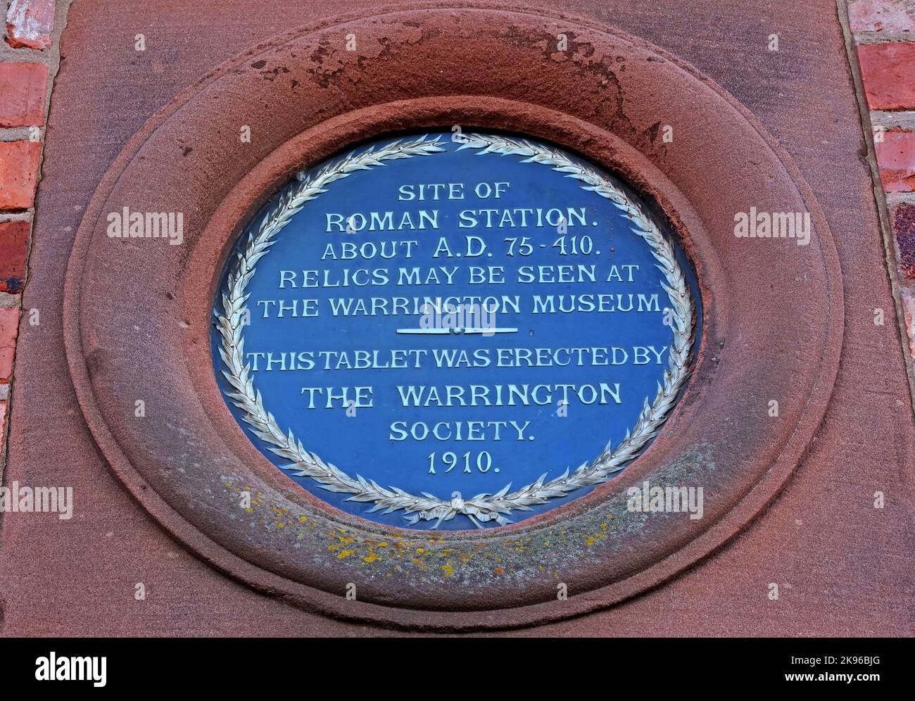
Site of Roman station about AD 75-410 plaque, Wilderspool, Warrington, relics may be seen at museum, erected 1910
Image details
Contributor:
Tony Smith / Alamy Stock PhotoImage ID:
2K96BJGFile size:
54.6 MB (3.9 MB Compressed download)Releases:
Model - no | Property - noDo I need a release?Dimensions:
5232 x 3648 px | 44.3 x 30.9 cm | 17.4 x 12.2 inches | 300dpiDate taken:
8 October 2022Location:
Wilderspool, Warrington, Cheshire, England, UK, WA4More information:
Wilderspool Roman Town Iron-work, Minor Settlement, Pottery and Temple Or Shrine Wilderspool Settlement was a Roman Small Town with industrial functions with extensive bronze, iron and glass working industries, 1st-2nd century; later 3rd/4th century occupation The site was defended by a ditch and wall; no visible remains. The initial Roman settlement at Warrington was probably a mansio or wayside station towards the end of the 1st century AD The settlement occupied a tongue-like strip of land, on hich ground, 41 feet above O.D., overlooking the plain and above flood-level. It was defended by the river Mersey on the north and by the Cress and Lum brooks on the west and east. It occupied an important strategic position at the head of the tidal portion of the Mersey at the place where it can be first forded. The Roman settlement was clearly a walled town with no evidence of a military camp. It probably became established as a mansio, at the ford, then a customs-town and port and finally developed into an industrial town. It was on the Brigantian frontier. Wilderspool Wall Defences The excavations revealed that the Roman town was defended by a wall with an outer ditch, forming an irregularly four-sided figure and enclosing an area of c.3 acres. Only the western side of these defences was fully excavated but the ditch was traced sufficiently to indicate the general plan. The wall was built of local sandstone facing to a core of rubble and clay and was 9-12 feet thick. Large buttress-like bases were found on the west and east sides and identified as ballistaria. There were traces of an angle tower on the rounded NW angle of the defences and, at this angle, a well-made causeway was found with vague indications of a gate. At the south-west angle of the wall, the main Roman road from the south entered the town and the traces of the pillars of a gateway were found. - More at https://www.roman-britain.co.uk/places/wilderspool/