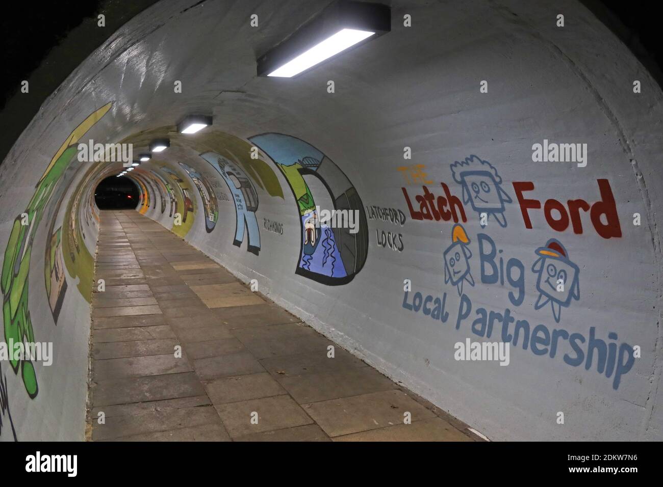
A50,pedestrian tunnel,Latchy,The Latchford Partnership,Knutsford Road,Latchford,Warrington,Cheshire,England,UK,WA4
Image details
Contributor:
Tony Smith / Alamy Stock PhotoImage ID:
2DKW7N6File size:
57.1 MB (1.7 MB Compressed download)Releases:
Model - no | Property - noDo I need a release?Dimensions:
5472 x 3648 px | 46.3 x 30.9 cm | 18.2 x 12.2 inches | 300dpiDate taken:
14 December 2020Location:
Knutsford Rd,Latchford East,Warrington, Cheshire,England, UK, WA4 1JRMore information:
Latchford is a suburb and electoral ward of Warrington, Cheshire, England. It is around one mile south-east of Warrington town centre and has a total resident population of 7, 856. Latchford is a predominantly residential area, Latchford lies between the River Mersey and the Manchester Ship Canal, and broadly consists of 19th-century terraced housing and some open space. The canal is crossed here by a swing bridge, a high-level road bridge and the now disused Latchford railway viaduct. Its name came from Anglo-Saxon Læccford meaning "boggy-stream ford" Latchford was originally a township in the ancient parish of Grappenhall, in Cheshire. It was also part of Bucklow Hundred, and was close to the border with Lancashire. Between 1894 and 1974, part of Latchford was placed within the County Borough of Warrington, and the registration county of Lancashire, whilst the rest of Latchford became a civil parish named "Latchford Without" and was transferred to Lancashire. With the local government reforms of 1974, as part of the newly formed Cheshire borough of Warrington, Latchford was transferred back to Cheshire