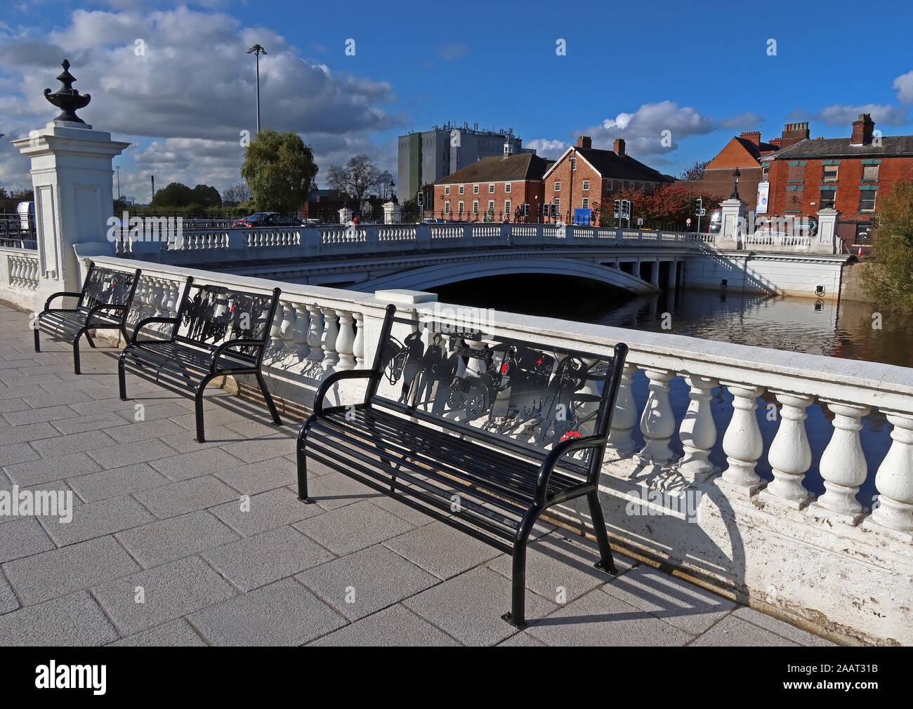
Cenotaph Benches Bridgefoot Warrington Oct 2019, WA1 1WA - High Tide and flooding of the River Mersey Crossing, Cheshire, North West England, UK
Image details
Contributor:
Tony Smith / Alamy Stock PhotoImage ID:
2AAT31BFile size:
50.3 MB (2.5 MB Compressed download)Releases:
Model - no | Property - noDo I need a release?Dimensions:
4980 x 3528 px | 42.2 x 29.9 cm | 16.6 x 11.8 inches | 300dpiDate taken:
29 October 2019Location:
Bridgefoot Warrington, Cheshire, England, WA1 1WAMore information:
Warrington was founded by the Romans at an important crossing place on the River Mersey. A new settlement was established by the Saxons. By the Middle Ages, Warrington had emerged as a market town at the lowest bridging point of the river. A local tradition of textile and tool production dates from this time. The modern Borough of Warrington was formed in 1974 with the amalgamation of the former County Borough of Warrington, part of the Golborne Urban District, the Lymm Urban District, part of the Runcorn Rural District, the Warrington Rural District and part of the Whiston Rural District. The River Mersey runs through the heart of the town dividing it in two. There are only two main thoroughfares crossing the Mersey in Warrington: at Warrington Bridge at Bridge Foot and at the Kingsway Bridge. Before the M6 was built, these routes were very busy with through traffic. The Manchester Ship Canal runs through the south of the town; three swing bridges and a high-level cantilever bridge provide crossing points. Although shipping movements on the ship canal are far less frequent than in years past, they can cause severe delay to local road traffic. The Bridgewater Canal runs through the borough from the village of Lymm to Walton Hall and Gardens, a local park/leisure area. The course of the Sankey Canal runs through the west of the town, although most of it is not suitable for navigation.