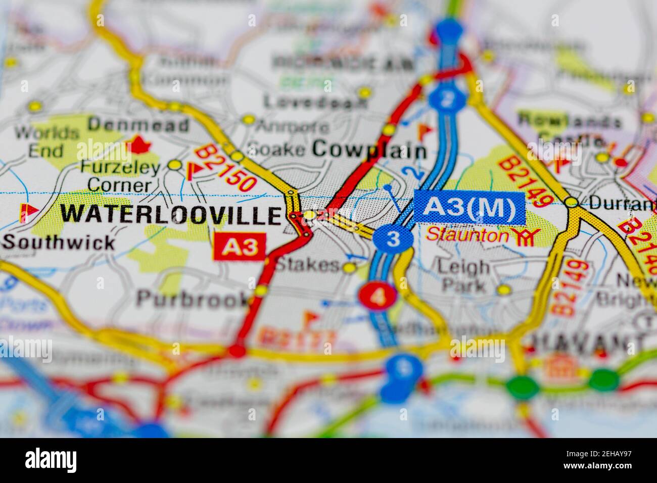
Waterlooville and surrounding areas shown on a road map or Geography map
RMID:Image ID:2EHAY97
Image details
Contributor:
GH Maps / Alamy Stock PhotoImage ID:
2EHAY97File size:
33.5 MB (1.2 MB Compressed download)Releases:
Model - no | Property - noDo I need a release?Dimensions:
4191 x 2794 px | 35.5 x 23.7 cm | 14 x 9.3 inches | 300dpiDate taken:
19 February 2021Location:
Portsmouth, Hampshire, UK