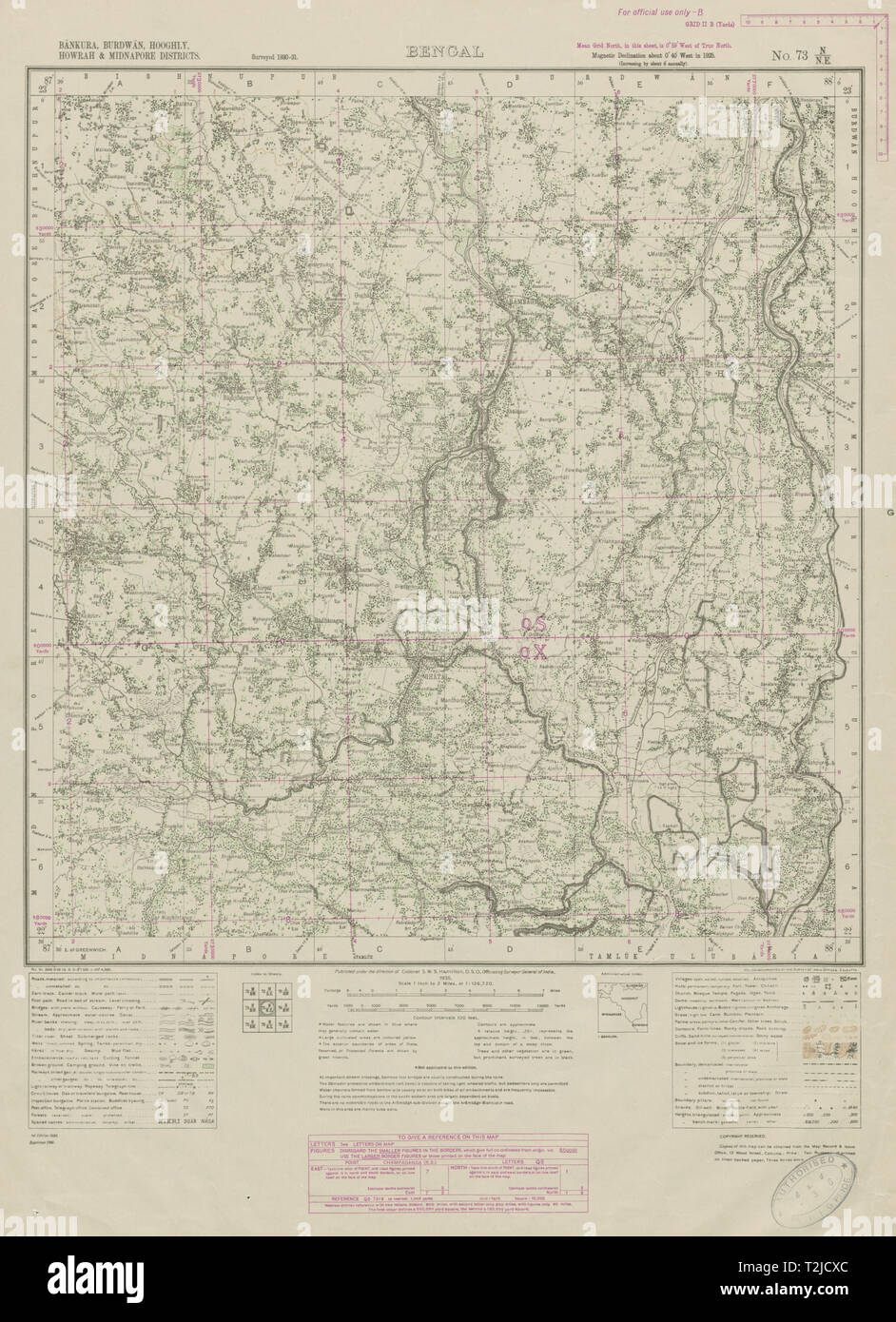
SURVEY OF INDIA 73 N/NE West Bengal Ghatal Arambagh Chandrakona Bengai 1942 map
RFID:Image ID:T2JCXC
Image details
Contributor:
Antiqua Print Gallery / Alamy Stock PhotoImage ID:
T2JCXCFile size:
118.9 MB (4.7 MB Compressed download)Releases:
Model - no | Property - noDo I need a release?Dimensions:
5488 x 7572 px | 46.5 x 64.1 cm | 18.3 x 25.2 inches | 300dpiDate taken:
1942Location:
IndiaMore information:
This image could have imperfections as it’s either historical or reportage.
BENGAL - Bankura, Burdwan, Hooghly, Howrah and Midnapore Districts - No. 73 N/NE. Artist/engraver/cartographer: Published under the direction of Colonel S W S Hamilton. Provenance: Survey of India, Map Record & Issue Office, 13 Wood Street, Calcutta. Type: Large decorative vintage survey map, from the Survey of India. This map covers parts of the state of West Bengal in India including the following cities/towns/villages/features: Ghatal - Arambag - Rathipur - Narajol - Khirpai - Chandrakona - Ramjibanpur