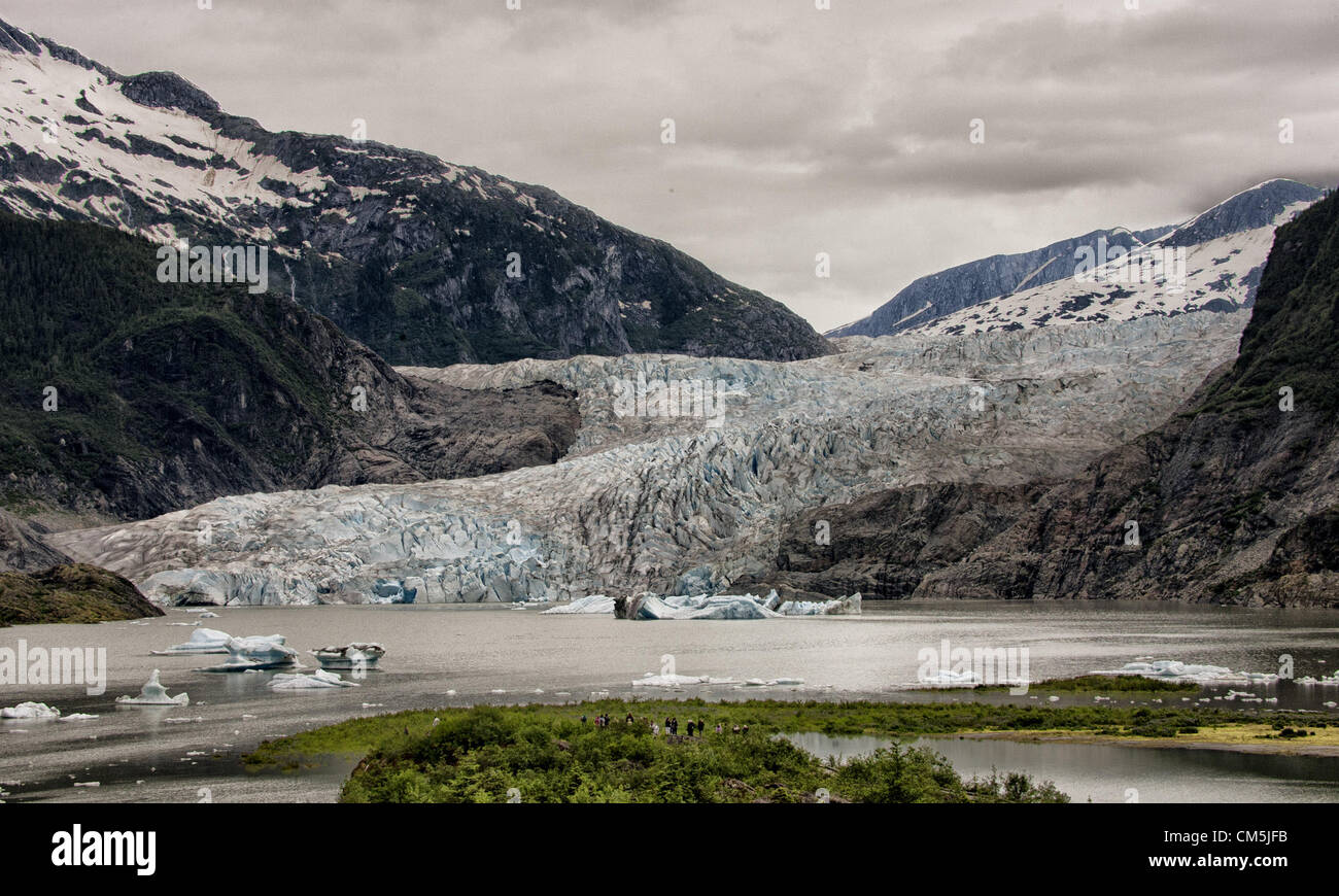
July 5, 2012 - Borough Of Juneau, Alaska, US - Mendenhall Glacier, surrounded by the majestic Coast Mountain Range, is viewed from the Mendenhall Glacier Visitor Center. From 1951–1958 the terminus of the glacier, which flows into Mendenhall Lake from its source 12 miles up the Juneau lcefield, retreated 1,900 feet (580 m). Since 1958 it has receded 1.75 miles (2.82 km) when Mendenhall Lake was created. Icebergs float on the surface of the lake. More than 350,000 people a year visit to see its face, a wall more than 100 feet high and a mile wide. (Credit Image: © Arnold Drapkin/ZUMAPRESS.c
Image details
Contributor:
ZUMA Press, Inc. / Alamy Stock PhotoImage ID:
CM5JFBFile size:
15.5 MB (1.1 MB Compressed download)Releases:
Model - no | Property - noDo I need a release?Dimensions:
3000 x 1801 px | 25.4 x 15.2 cm | 10 x 6 inches | 300dpiDate taken:
5 July 2012Photographer:
ZUMA PressMore information:
This image could have imperfections as it’s either historical or reportage.
July 5, 2012 - Borough Of Juneau, Alaska, US - Mendenhall Glacier, surrounded by the majestic Coast Mountain Range, is viewed from the Mendenhall Glacier Visitor Center. From 1951–1958 the terminus of the glacier, which flows into Mendenhall Lake from its source 12 miles up the Juneau lcefield, retreated 1, 900 feet (580 m). Since 1958 it has receded 1.75 miles (2.82 km) when Mendenhall Lake was created. Icebergs float on the surface of the lake. More than 350, 000 people a year visit to see its face, a wall more than 100 feet high and a mile wide. (Credit Image: © Arnold Drapkin/ZUMAPRESS.com)