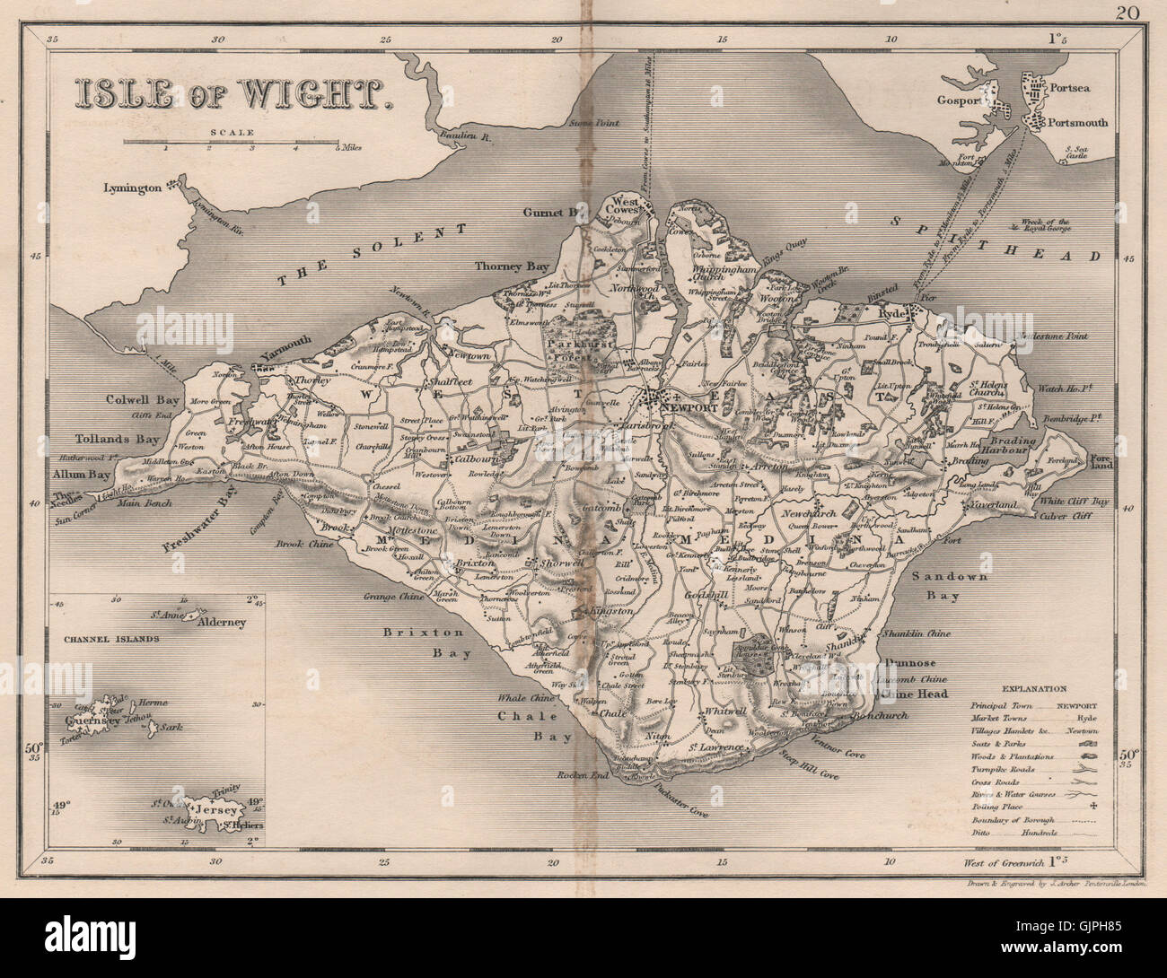
ISLE OF WIGHT map by DUGDALE/ARCHER. Seats polling places, 1845
RFID:Image ID:GJPH85
Image details
Contributor:
Antiqua Print Gallery / Alamy Stock PhotoImage ID:
GJPH85File size:
17.9 MB (1.6 MB Compressed download)Releases:
Model - no | Property - noDo I need a release?Dimensions:
2853 x 2196 px | 24.2 x 18.6 cm | 9.5 x 7.3 inches | 300dpiDate taken:
1845Location:
Isle of WightMore information:
This image could have imperfections as it’s either historical or reportage.
'Isle of Wight; Inset map of Channel Islands'. Artist/engraver/cartographer: Drawn & Engraved by J. Archer . Provenance: "Curiosities of Great Britain. England & Wales"; by Thomas Dugdale, Assisted by William Burnett. Published by L. Tallis, London. Type: Antique steel engraved map.