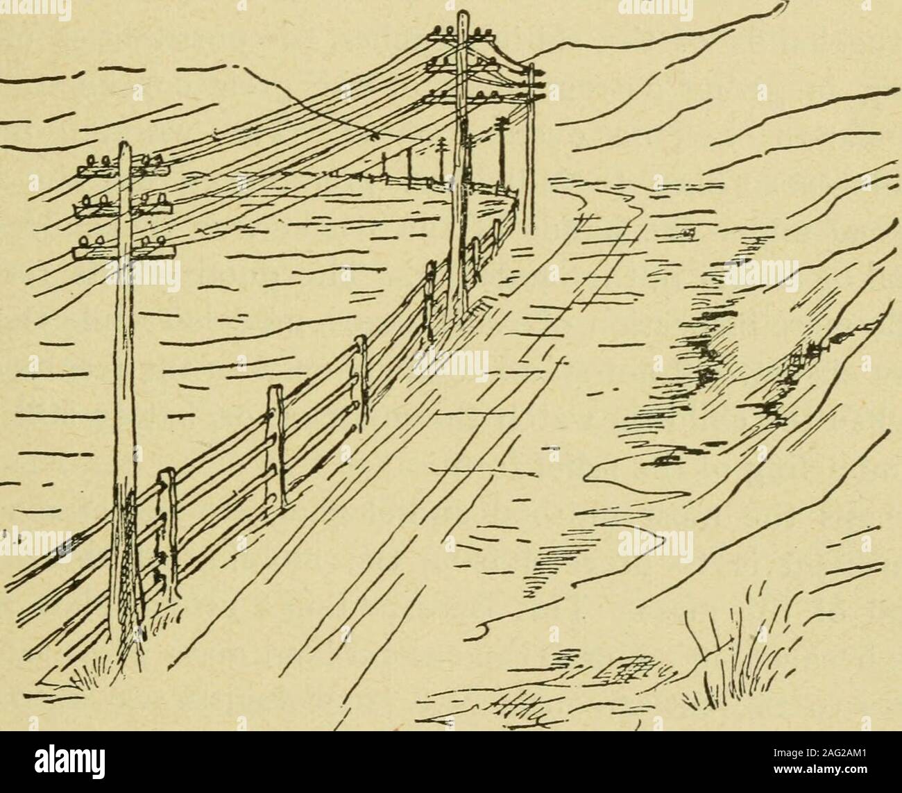
. Map modeling in geography : including the use of sand, clay putty, paper pulp, plaster of Paris, and other materials : also chalk modeling in its adaptation to purposes of illustration. ance. Allow the children to determine the direction ofthe common roads (Fig. 34), and to mark upon the maps whichthey construct the changes in direction which such roads make.It is remarkable what progress in accurate work the pupils willmake under such instruction. We have in mind the animatedlooks of a large class of boys when they were told by their teacherthat we would learn the table of Surveyors Measure
Image details
Contributor:
The Reading Room / Alamy Stock PhotoImage ID:
2AG2AM1File size:
7.1 MB (341.6 KB Compressed download)Releases:
Model - no | Property - noDo I need a release?Dimensions:
1756 x 1422 px | 29.7 x 24.1 cm | 11.7 x 9.5 inches | 150dpiMore information:
This image is a public domain image, which means either that copyright has expired in the image or the copyright holder has waived their copyright. Alamy charges you a fee for access to the high resolution copy of the image.
This image could have imperfections as it’s either historical or reportage.
. Map modeling in geography : including the use of sand, clay putty, paper pulp, plaster of Paris, and other materials : also chalk modeling in its adaptation to purposes of illustration. ance. Allow the children to determine the direction ofthe common roads (Fig. 34), and to mark upon the maps whichthey construct the changes in direction which such roads make.It is remarkable what progress in accurate work the pupils willmake under such instruction. We have in mind the animatedlooks of a large class of boys when they were told by their teacherthat we would learn the table of Surveyors Measure by actualpractice in the field. The following Saturday was named for theexercise. Promptly at the time appointed every lad appeared;and no band of U. S. engineers ever worked with more energythan did that class of practical geographers. They surveyed A Meridian Line. 65 lines, measured distances, estimated areas, and calculated theheight of trees from the shadows; and if they did not then passto the study of Polaris, the north star, it was not the fault of theboys. None of them afterwards could be puzzled by questionsabout units of length, surface, and direction. The relation be-. FiG. 34.tween Surveyors Measure and Long Measure was discovered ;and when we took up Cubic Measure, they calculated the cubiccapacity of all things, from the corn-crib to the wash-tub, eitherin cubic feet, bushels, or in gallons. Costly apparatus may not be within the reach of the teachers inour common schools, but in reality the simplest apparatus is best.In these days we can afford to disregard the sneer at home-madeapparatus so plainly marked in a recent educational journal. 66 Advanced Work in Sand Modeling, atibanceti morfi xi ^anti ittoDeling* MODELING NORTH AMERICA, BEGINNING WITH ITS PRE-DOMINANT MOUNTAIN SYSTEM. (See Frontispiece.) In the hands of the skilful teacher, the possibilities of sandmodeling in giving correct ideas of the great continental land-masses cannot well be over-estimated