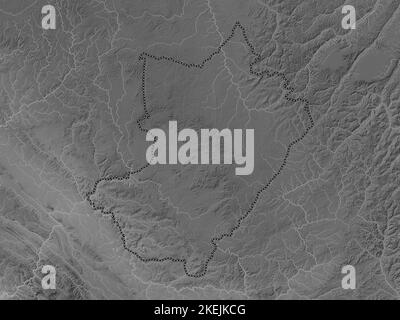
 Lekoumou, region of Republic of Congo. Grayscale elevation map with lakes and rivers Stock Photohttps://www.alamy.com/licenses-and-pricing/?v=1https://www.alamy.com/lekoumou-region-of-republic-of-congo-grayscale-elevation-map-with-lakes-and-rivers-image490905872.html
RF2KEJKCG–Lekoumou, region of Republic of Congo. Grayscale elevation map with lakes and rivers
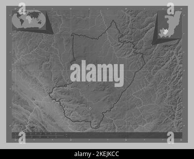 Lekoumou, region of Republic of Congo. Grayscale elevation map with lakes and rivers. Corner auxiliary location maps Stock Photohttps://www.alamy.com/licenses-and-pricing/?v=1https://www.alamy.com/lekoumou-region-of-republic-of-congo-grayscale-elevation-map-with-lakes-and-rivers-corner-auxiliary-location-maps-image490905868.html
RF2KEJKCC–Lekoumou, region of Republic of Congo. Grayscale elevation map with lakes and rivers. Corner auxiliary location maps
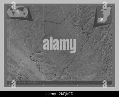 Lekoumou, region of Republic of Congo. Grayscale elevation map with lakes and rivers. Locations of major cities of the region. Corner auxiliary locati Stock Photohttps://www.alamy.com/licenses-and-pricing/?v=1https://www.alamy.com/lekoumou-region-of-republic-of-congo-grayscale-elevation-map-with-lakes-and-rivers-locations-of-major-cities-of-the-region-corner-auxiliary-locati-image490905869.html
RF2KEJKCD–Lekoumou, region of Republic of Congo. Grayscale elevation map with lakes and rivers. Locations of major cities of the region. Corner auxiliary locati
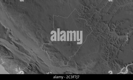 Lékoumou, region of Republic of Congo. Grayscaled map with lakes and rivers. Shape outlined against its country area. 3D rendering Stock Photohttps://www.alamy.com/licenses-and-pricing/?v=1https://www.alamy.com/lkoumou-region-of-republic-of-congo-grayscaled-map-with-lakes-and-rivers-shape-outlined-against-its-country-area-3d-rendering-image363596975.html
RF2C3F7J7–Lékoumou, region of Republic of Congo. Grayscaled map with lakes and rivers. Shape outlined against its country area. 3D rendering
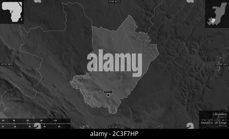 Lékoumou, region of Republic of Congo. Grayscaled map with lakes and rivers. Shape presented against its country area with informative overlays. 3D re Stock Photohttps://www.alamy.com/licenses-and-pricing/?v=1https://www.alamy.com/lkoumou-region-of-republic-of-congo-grayscaled-map-with-lakes-and-rivers-shape-presented-against-its-country-area-with-informative-overlays-3d-re-image363596962.html
RF2C3F7HP–Lékoumou, region of Republic of Congo. Grayscaled map with lakes and rivers. Shape presented against its country area with informative overlays. 3D re