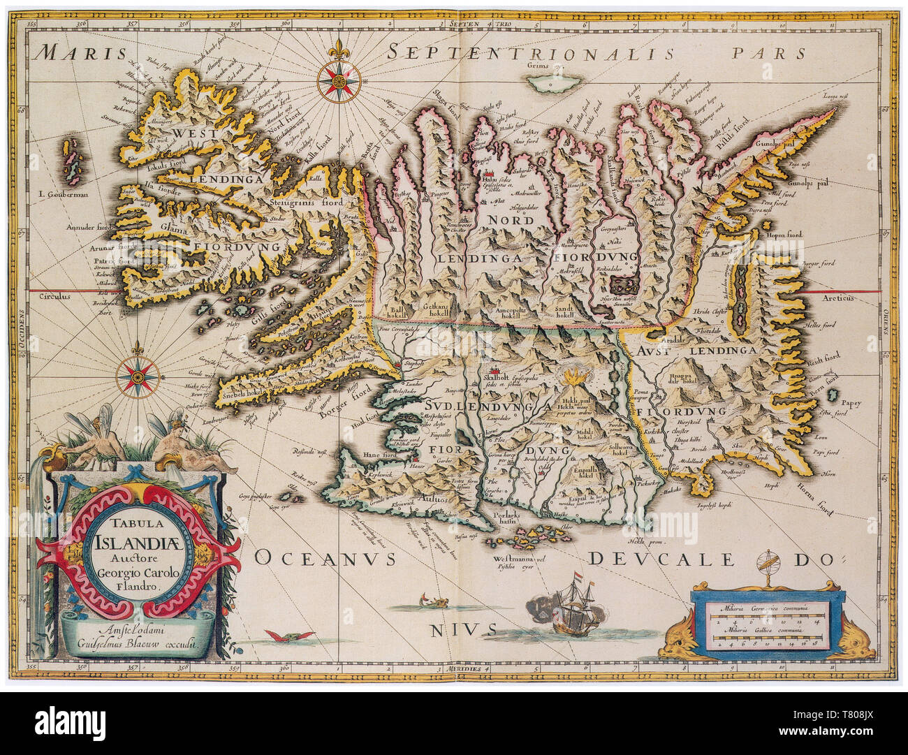
Joan Blaeu, Iceland Map, 17th Century
Image details
Contributor:
Science History Images / Alamy Stock PhotoImage ID:
T808JXFile size:
39.9 MB (3.9 MB Compressed download)Releases:
Model - no | Property - noDo I need a release?Dimensions:
4275 x 3259 px | 36.2 x 27.6 cm | 14.3 x 10.9 inches | 300dpiDate taken:
23 April 2018Photographer:
Science History ImagesMore information:
This image could have imperfections as it’s either historical or reportage.
Iceland is a Nordic island country in the North Atlantic. Iceland is volcanically and geologically active. The interior consists of a plateau characterized by sand and lava fields, mountains, and glaciers, and many glacial rivers flow to the sea through the lowlands. Iceland is the most sparsely populated country in Europe. Joan Blaeu (September 23, 1596 - December 21, 1673) was a Dutch cartographer born in Alkmaar, the son of cartographer Willem Blaeu. In 1620 he became a doctor of law but he joined the work of his father. In 1635 they published the Atlas Novus (full title: Theatrum orbis terrarum, sive, Atlas novus) in two volumes. The Atlas Maior is the final version of Joan Blaeu's atlas, published in Amsterdam between 1662 and 1672, in Latin, French, Dutch, German and Spanish, containing 594 maps and around 3, 000 pages of text. The Blaeu maps emphasized fine art and colors, being the most expensive of the time. The Atlas Maior is widely considered a masterpiece of the Golden Age of Dutch/Netherlandish cartography.