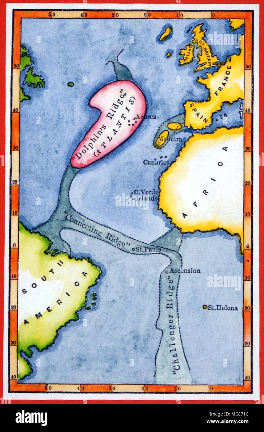
ATLANTIS Map according to the polymath Athansius Kircher (1602 - 1680) in his treatise on the Atlantean mythology, derived mainly from classical sources.
RMID:Image ID:MC871C
Image details
Contributor:
Charles Walker Collection / Alamy Stock PhotoImage ID:
MC871CFile size:
12.3 MB (529.6 KB Compressed download)Releases:
Model - no | Property - noDo I need a release?Dimensions:
1676 x 2564 px | 14.2 x 21.7 cm | 5.6 x 8.5 inches | 300dpiDate taken:
13 April 2018Photographer:
Charles Walker CollectionMore information:
This image could have imperfections as it’s either historical or reportage.