···
Arizona state detailed editable map with with cities and towns, geographic sites, roads, railways, interstates and U.S. highways. Vector EPS-10 file, Image details Date created:
1 December 2020
More information:
Arizona state detailed editable map with with cities and towns, geographic sites, roads, railways, interstates and U.S. highways. Vector EPS-10 file, trending color scheme
Search stock photos by tags
Similar stock vectors Detailed map of the United States, including Alaska and Hawaii. United States with each state abbreviation Stock Vector https://www.alamy.com/image-license-details/?v=1 https://www.alamy.com/stock-photo-detailed-map-of-the-united-states-including-alaska-and-hawaii-united-136274232.html RF HWKR4T – Detailed map of the United States, including Alaska and Hawaii. United States with each state abbreviation Arizona US State Blank Vector Map Isolated on White Background. High-Detailed Black Silhouette Map of Arizona. Stock Vector https://www.alamy.com/image-license-details/?v=1 https://www.alamy.com/arizona-us-state-blank-vector-map-isolated-on-white-background-high-detailed-black-silhouette-map-of-arizona-image260839548.html RF W4A7E4 – Arizona US State Blank Vector Map Isolated on White Background. High-Detailed Black Silhouette Map of Arizona. Arizona - Highly detailed editable political map. Stock Vector https://www.alamy.com/image-license-details/?v=1 https://www.alamy.com/arizona-highly-detailed-editable-political-map-image546273075.html RF 2PMMTTK – Arizona - Highly detailed editable political map. Arizona US state map red outline border. Vector illustration isolated on white. Two-letter state abbreviation. Editable stroke. Adjust line weight. Stock Vector https://www.alamy.com/image-license-details/?v=1 https://www.alamy.com/arizona-us-state-map-red-outline-border-vector-illustration-isolated-on-white-two-letter-state-abbreviation-editable-stroke-adjust-line-weight-image461323257.html RF 2HPF2EH – Arizona US state map red outline border. Vector illustration isolated on white. Two-letter state abbreviation. Editable stroke. Adjust line weight. Utah state detailed editable map with cities and towns, geographic sites, roads, railways, interstates and U.S. highways. Vector EPS-10 file, trending Stock Vector https://www.alamy.com/image-license-details/?v=1 https://www.alamy.com/utah-state-detailed-editable-map-with-cities-and-towns-geographic-sites-roads-railways-interstates-and-us-highways-vector-eps-10-file-trending-image395034257.html RF 2DXKA69 – Utah state detailed editable map with cities and towns, geographic sites, roads, railways, interstates and U.S. highways. Vector EPS-10 file, trending detailed map of the United States with cities Stock Vector https://www.alamy.com/image-license-details/?v=1 https://www.alamy.com/detailed-map-of-the-united-states-with-cities-image222966530.html RF PXN02A – detailed map of the United States with cities Nevada state detailed editable map with cities and towns, geographic sites, roads, railways, interstates and U.S. highways. Vector EPS-10 file, trendi Stock Vector https://www.alamy.com/image-license-details/?v=1 https://www.alamy.com/nevada-state-detailed-editable-map-with-cities-and-towns-geographic-sites-roads-railways-interstates-and-us-highways-vector-eps-10-file-trendi-image392887169.html RF 2DR5FGH – Nevada state detailed editable map with cities and towns, geographic sites, roads, railways, interstates and U.S. highways. Vector EPS-10 file, trendi Connecticut state detailed editable map with with cities and towns, geographic sites, roads, railways, interstates and U.S. highways. Vector EPS-10 fi Stock Vector https://www.alamy.com/image-license-details/?v=1 https://www.alamy.com/connecticut-state-detailed-editable-map-with-with-cities-and-towns-geographic-sites-roads-railways-interstates-and-us-highways-vector-eps-10-fi-image387698523.html RF 2DEN5BR – Connecticut state detailed editable map with with cities and towns, geographic sites, roads, railways, interstates and U.S. highways. Vector EPS-10 fi Detailed map of the United States, including Alaska and Hawaii. United States with each state abbreviation Stock Vector https://www.alamy.com/image-license-details/?v=1 https://www.alamy.com/stock-photo-detailed-map-of-the-united-states-including-alaska-and-hawaii-united-136274243.html RF HWKR57 – Detailed map of the United States, including Alaska and Hawaii. United States with each state abbreviation The detailed map of the USA with regions. United States of America. Stock Vector https://www.alamy.com/image-license-details/?v=1 https://www.alamy.com/stock-image-the-detailed-map-of-the-usa-with-regions-united-states-of-america-167486762.html RF KMDK22 – The detailed map of the USA with regions. United States of America. Arizona - Highly detailed editable political map with labeling. Stock Vector https://www.alamy.com/image-license-details/?v=1 https://www.alamy.com/arizona-highly-detailed-editable-political-map-with-labeling-image546273262.html RF 2PMMW3A – Arizona - Highly detailed editable political map with labeling. The detailed map of the USA including Alaska and Hawaii. The United States of America Stock Vector https://www.alamy.com/image-license-details/?v=1 https://www.alamy.com/stock-image-the-detailed-map-of-the-usa-including-alaska-and-hawaii-the-united-167486759.html RF KMDK1Y – The detailed map of the USA including Alaska and Hawaii. The United States of America 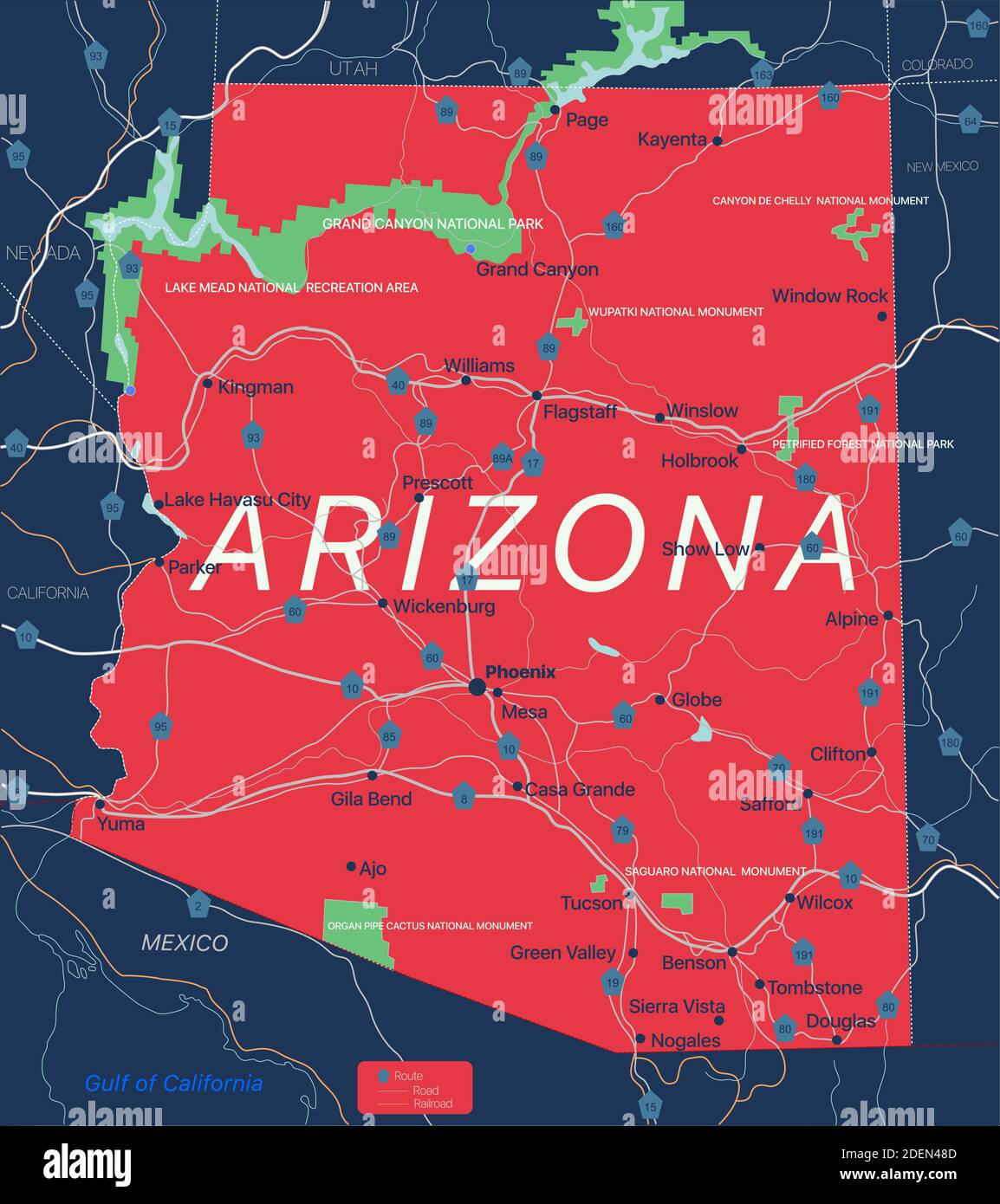